Pirep is a free, collaborative database of all public and private airports. All pilots are welcome to contribute their local knowledge to any airport, no registration required.


No upcoming events. Is anything happening here soon?
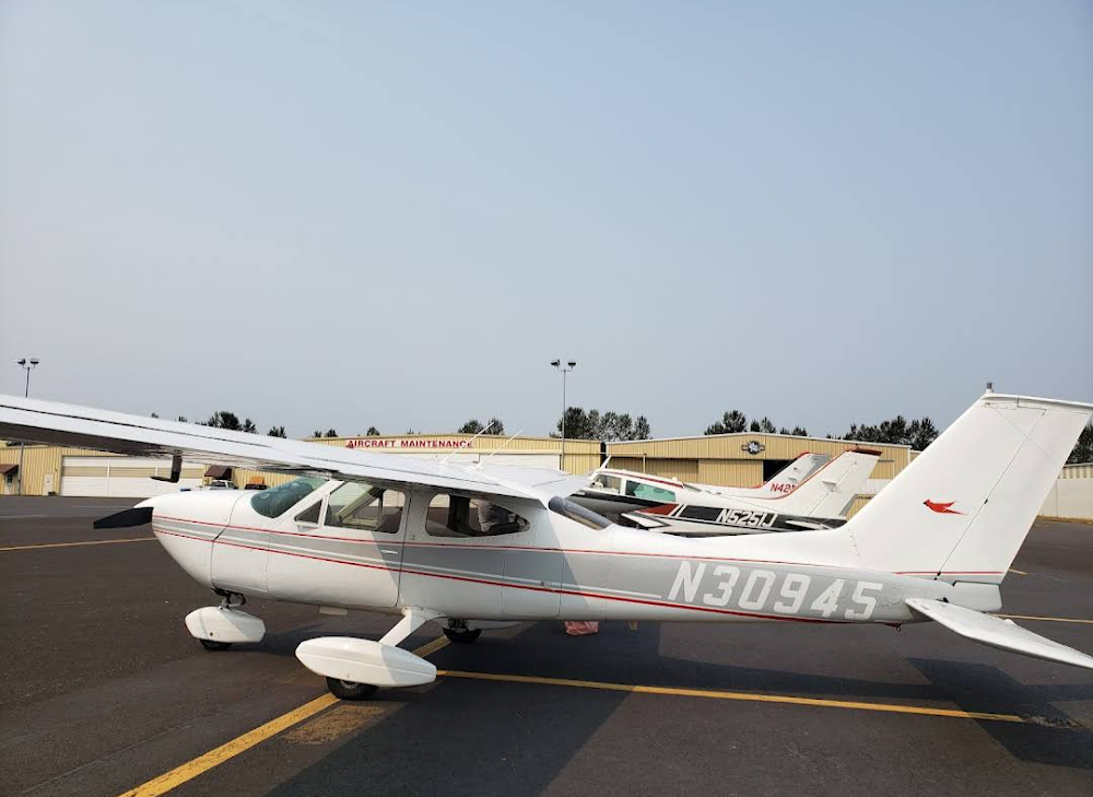
Last updated: 2023-06-16 17:54:45 AKDT
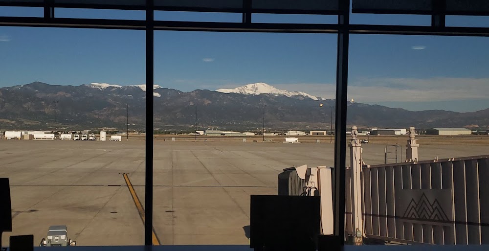
Last updated: 2024-02-08 18:10:48 AKST
Airport Statistics
- WiFi availability
- Crew car availability
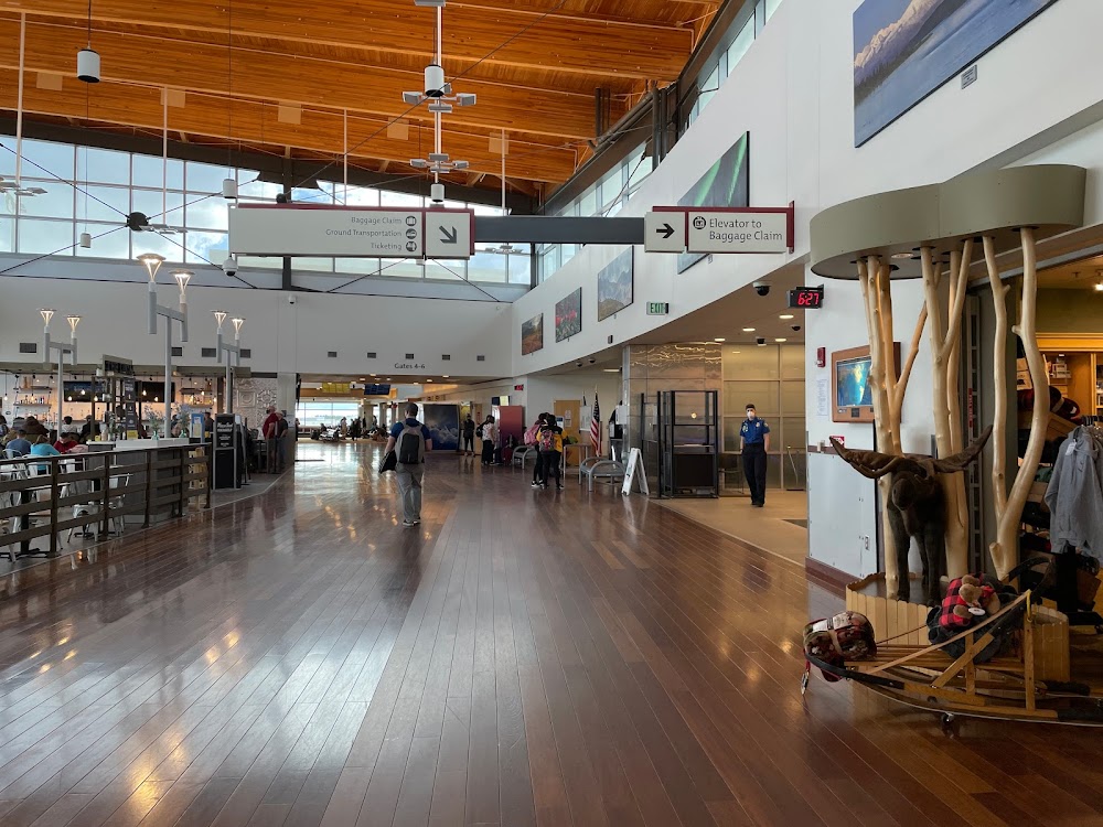
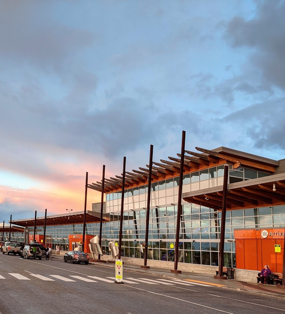
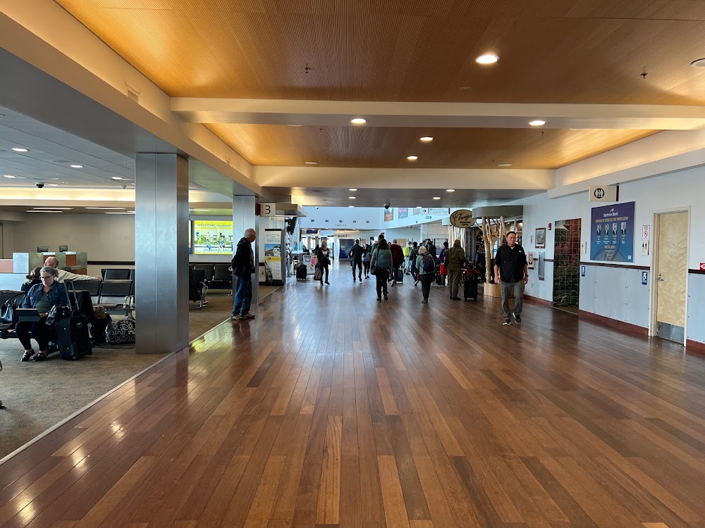
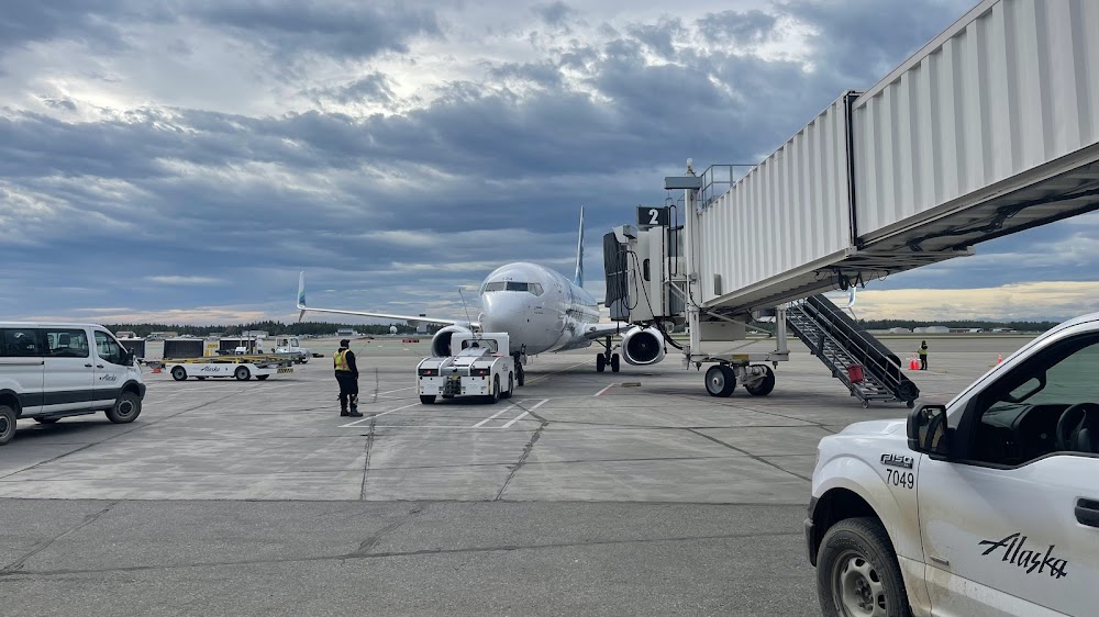
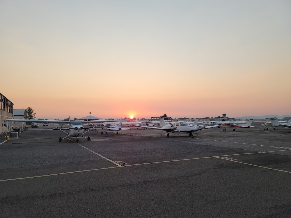
- Airport photos
Location:
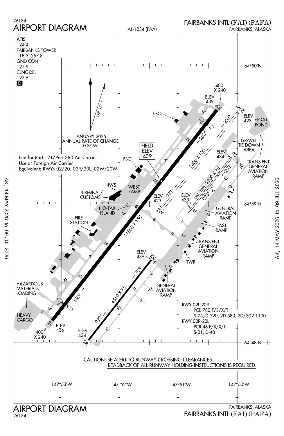
Fairbanks, AK
Elevation:
439ft
Sectional:
Fairbanks
Activation date:
Jun 1951
Fuel:
100LL, A1 (prices)
Runway 02L/20R:
11,800ft
Runway 02W/20W:
5,400ft
Runway 02R/20L:
4,510ft
Runway 02/20:
2,900ft
Access: Open to the public
Similar Airports
Current Weather — VFR
-
Weather data is strictly informational and not for flight planning purposes.
-
METAR2026-07-24 10:53:00 AKDT
Ceiling: 7,500ft Wind: 230° @ 7kt Temperature: 53°F Dewpoint: 46°F Weather: N/A Visbility: 10SM Clouds: Scattered @ 5,000ft, Broken @ 7,500ft, Broken @ 9,500ft Raw:METAR PAFA 241853Z 23007KT 10SM SCT050 BKN075 BKN095 12/08 A2997 RMK AO2 SLP154 T01170078 -
TAF2026-07-24 10:00:00 AKDT – 2026-07-24 14:00:00 AKDT
Ceiling: 8,000ft Wind: 270° @ 12kt Weather: N/A Visbility: 6SM Clouds: Scattered @ 5,000ft, Broken @ 8,000ft Raw:TAF PAFA 241720Z 2418/2524 27012KT P6SM SCT050 BKN080 FM242200 30009KT P6SM SKC FM250600 VRB03KT P6SM SKC -
TAF2026-07-24 14:00:00 AKDT – 2026-07-24 22:00:00 AKDT
Ceiling: Sky clear Wind: 300° @ 9kt Weather: N/A Visbility: 6SM Clouds: @ ft Raw:TAF PAFA 241720Z 2418/2524 27012KT P6SM SCT050 BKN080 FM242200 30009KT P6SM SKC FM250600 VRB03KT P6SM SKC -
TAF2026-07-24 22:00:00 AKDT – 2026-07-25 16:00:00 AKDT
Ceiling: Sky clear Wind: Variable Weather: N/A Visbility: 6SM Clouds: @ ft Raw:TAF PAFA 241720Z 2418/2524 27012KT P6SM SCT050 BKN080 FM242200 30009KT P6SM SKC FM250600 VRB03KT P6SM SKC
Click/tap to add an annotation marker to the map
No webcams added yet.
Remarks
- Atct 538 ms atct 64 48 39.438 n 147 50 55.722 w.
- Birds invof spring - fall.
- Ctn: sn removal equip 1 oct 1 - may 15.
- Mil contr fuel avbl.
- Ops in moas e of fairbanks - eielson range ctl 125.3/126.3 or 1-800-758-8723.
Comments