Pirep is a free, collaborative database of all public and private airports. All pilots are welcome to contribute their local knowledge to any airport, no registration required.


No upcoming events. Is anything happening here soon?
Last updated: 2023-11-24 18:25:49 PST
Last updated: 2023-10-16 20:54:11 PDT
Last updated: 2024-01-08 21:03:12 PST
Airport Statistics
Location:
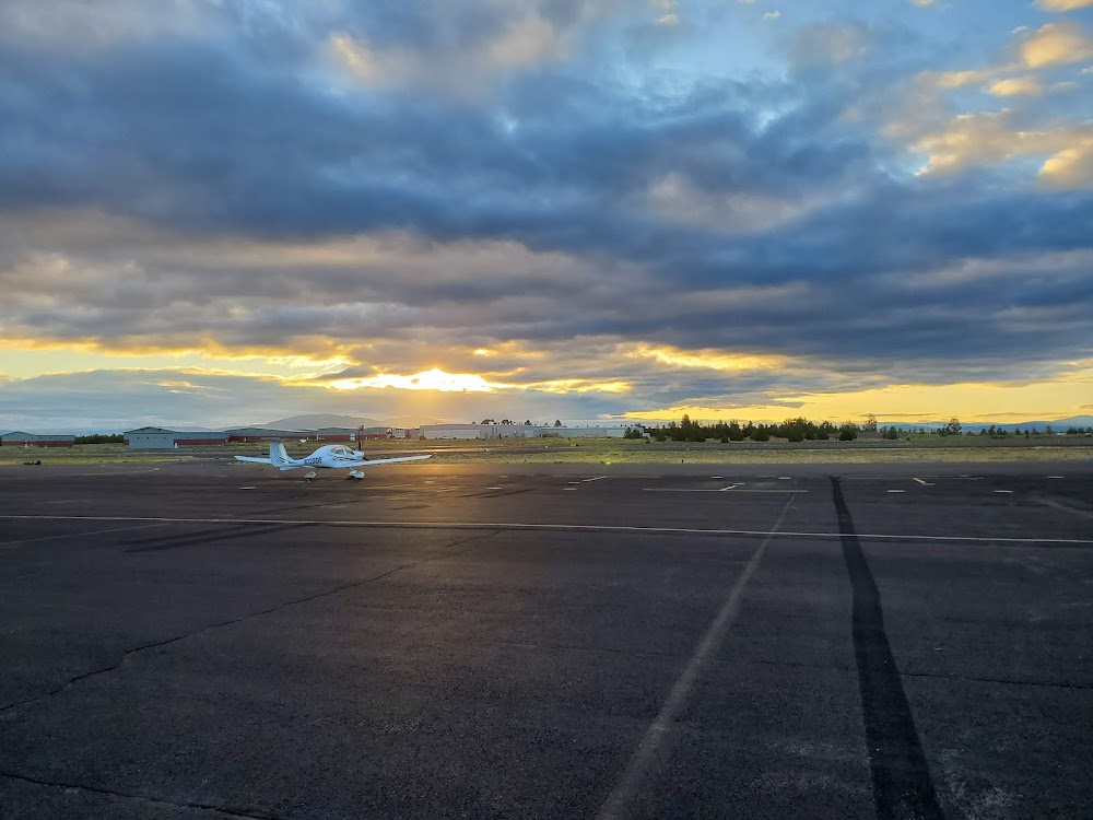
Bend, OR
Elevation:
3,459ft
Sectional:
Klamath Falls
Activation date:
Jun 1942
Fuel:
100LL, A (prices)
Runway 17/35:
5,201ft
Runway 16/34:
5,201ft
Access: Open to the public
Similar Airports
Current Weather — VFR
-
Weather data is strictly informational and not for flight planning purposes.
-
METAR2026-07-16 10:10:00 PDT
Ceiling: Sky clear Wind: 320° @ 6kt Temperature: 77°F Dewpoint: 46°F Weather: N/A Visbility: 10SM Raw:METAR KBDN 161710Z AUTO 32006KT 10SM CLR 25/08 A2995 RMK AO2 -
TAF2026-07-16 11:00:00 PDT – 2026-07-16 14:00:00 PDT
Ceiling: Sky clear Wind: Variable Weather: N/A Visbility: 6SM Clouds: @ ft Raw:TAF KBDN 161720Z 1618/1718 VRB05KT P6SM SKC FM162100 32015G25KT P6SM FEW080 FM170400 35009KT P6SM SKC FM170800 VRB03KT P6SM SKC -
TAF2026-07-16 14:00:00 PDT – 2026-07-16 21:00:00 PDT
Ceiling: Sky clear Wind: 320° @ 15kt, gusts 25kt Weather: N/A Visbility: 6SM Clouds: Few @ 8,000ft Raw:TAF KBDN 161720Z 1618/1718 VRB05KT P6SM SKC FM162100 32015G25KT P6SM FEW080 FM170400 35009KT P6SM SKC FM170800 VRB03KT P6SM SKC -
TAF2026-07-16 21:00:00 PDT – 2026-07-17 01:00:00 PDT
Ceiling: Sky clear Wind: 350° @ 9kt Weather: N/A Visbility: 6SM Clouds: @ ft Raw:TAF KBDN 161720Z 1618/1718 VRB05KT P6SM SKC FM162100 32015G25KT P6SM FEW080 FM170400 35009KT P6SM SKC FM170800 VRB03KT P6SM SKC -
TAF2026-07-17 01:00:00 PDT – 2026-07-17 11:00:00 PDT
Ceiling: Sky clear Wind: Variable Weather: N/A Visbility: 6SM Clouds: @ ft Raw:TAF KBDN 161720Z 1618/1718 VRB05KT P6SM SKC FM162100 32015G25KT P6SM FEW080 FM170400 35009KT P6SM SKC FM170800 VRB03KT P6SM SKC
Click/tap to add an annotation marker to the map


Remarks
- Existed prior to 1959.
- Both twys parallel to ry 17/35 mkd by reflectors.
- Calm wind rwy 17.
- Noise abatement procedures in effect, call fbo at (541) 388-0019
- Be aware, intense helicopter training continually in progress.
- Extensive geese activity reported on and near arpt year around. deer and other wildlife may be present.
- Apron areas may be heavily congested at times with svc vehicles, pedestrian and automobile tfc.
- Taxilanes and apron are nstd. acft may require wing walkers, parking guidance and/or tugging at pilot discretion to insure acft clearance from obstacles.
Comments