Pirep is a free, collaborative database of all public and private airports. All pilots are welcome to contribute their local knowledge to any airport, no registration required.

No upcoming events. Is anything happening here soon?
Last updated: 2023-03-07 00:13:07 MST
Airport Statistics
Location:
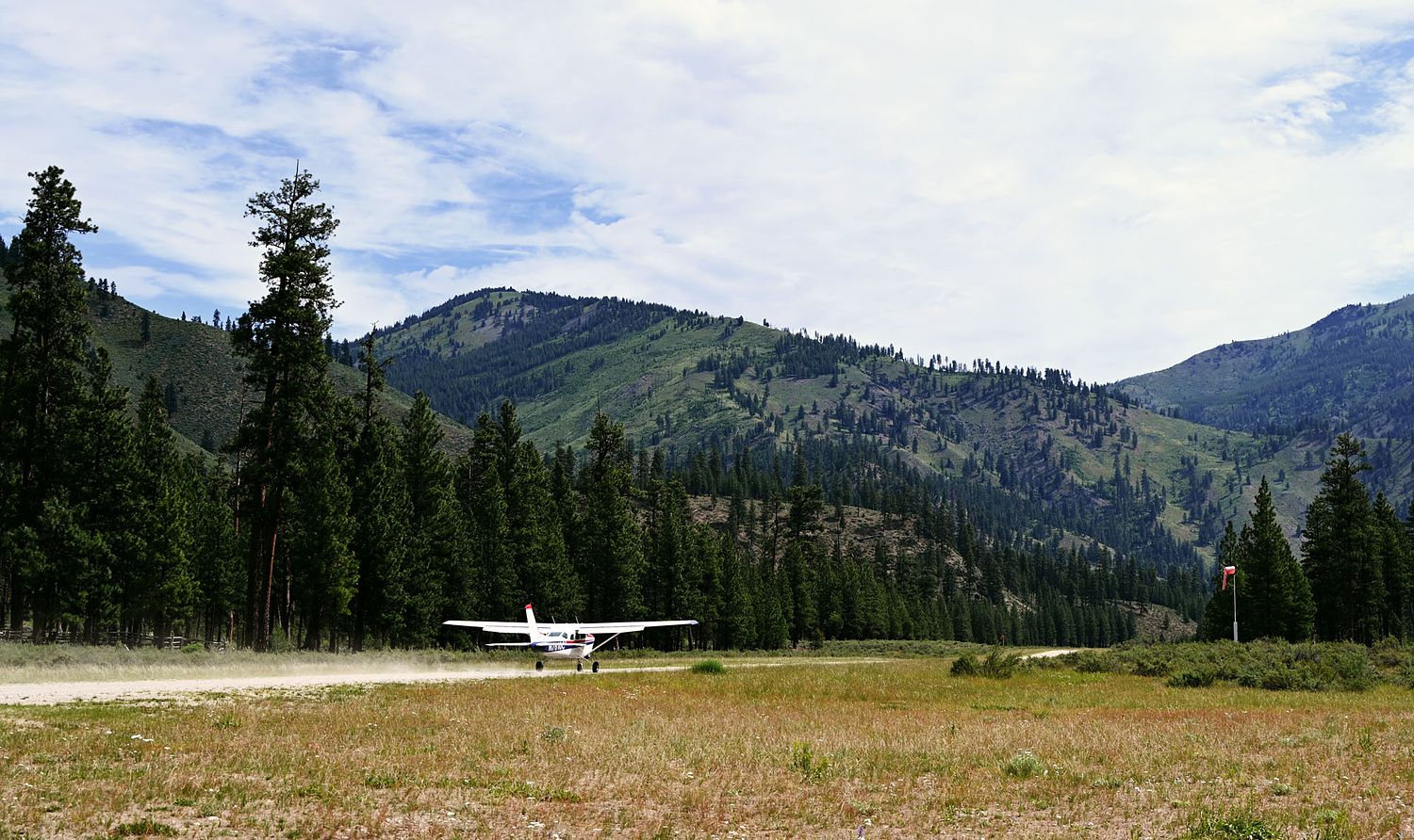
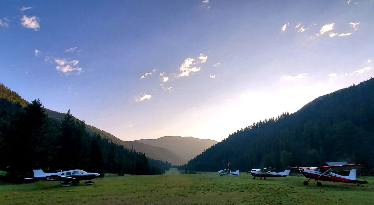
Indian Creek, ID
Elevation:
4,718ft
Sectional:
Great Falls
Activation date:
Apr 1947
Fuel:
None
Runway 04/22:
4,650ft
Access: Open to the public
Similar Airports

Click/tap to add an annotation marker to the map
No webcams added yet.
Remarks
- Estabd prior to 1959.
- No winter maint.
- Be advised usfs recmds: when depg up or down stream remain in main canyon. do not atmt to clb out side canyons.
- Tfc obsnc vcy of pistol creek arpt lctd 2.5 miles upstream.
- Ry 04, 350 ft stopway.
- Rwy 04 has +12 ft fence & trrn 0 ft 60 ft l; nmrs trees to 100 ft on l half of apch; +70 ft trees 600 ft on cntrln.
- Ry 22 right half of apch blocked by 200 ft timbered ridge 400 ft on cntrln; +300 ft ridge 1800 ft 400 ft l.
- For cd ctc salt lake artcc at 801-320-2568.
Comments