Pirep is a free, collaborative database of all public and private airports. All pilots are welcome to contribute their local knowledge to any airport, no registration required.


No upcoming events. Is anything happening here soon?
Last updated: 2023-04-22 20:13:47 EDT
Last updated: 2023-04-22 20:13:47 EDT
Last updated: 2024-01-26 23:22:04 EST
Last updated: 2023-04-22 15:35:07 EDT
Airport Statistics
- Crew car availability
- Landing & tie-down fees
- Webcam links
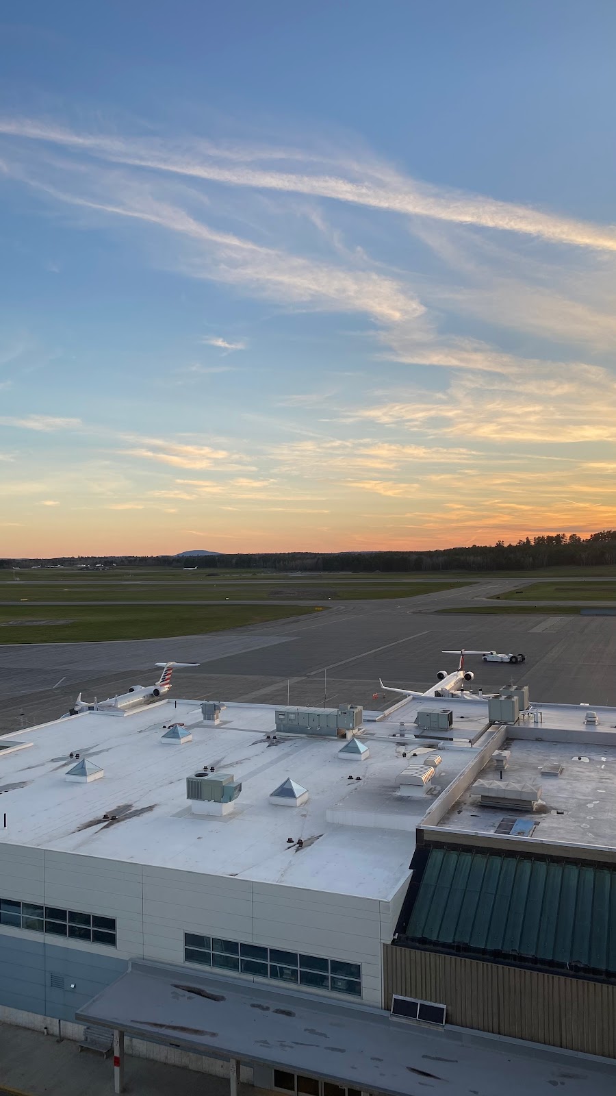
Location:
Bangor, ME
Elevation:
192ft
Sectional:
Halifax
Activation date:
Apr 1940
Fuel:
100LL, A (prices)
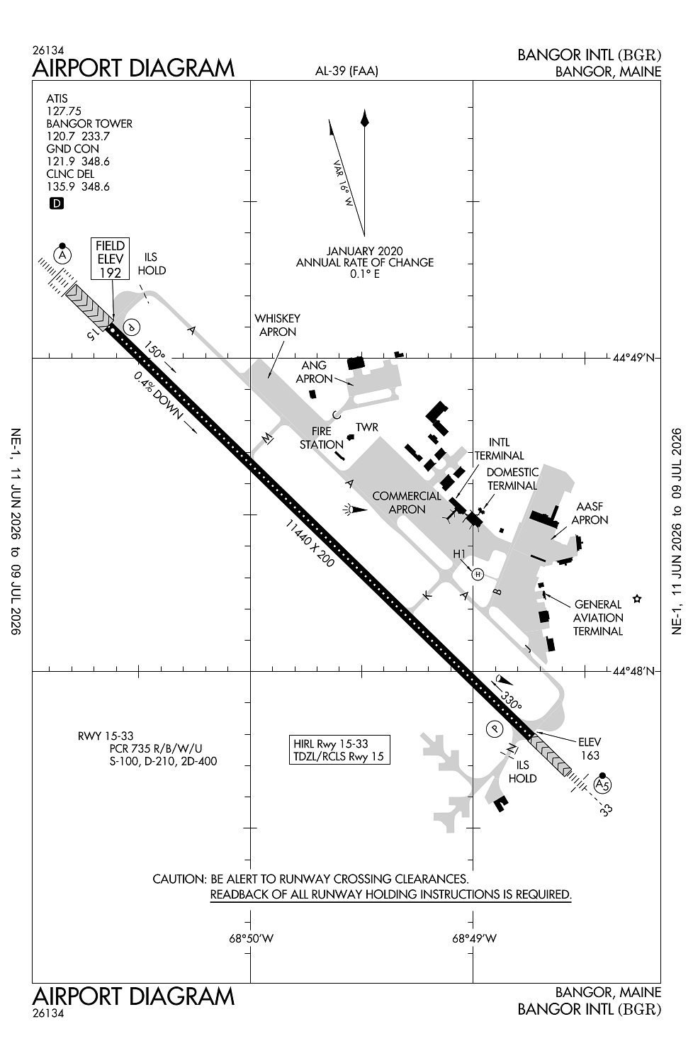
Runway 15/33:
11,440ft
Runway H1:
100ft
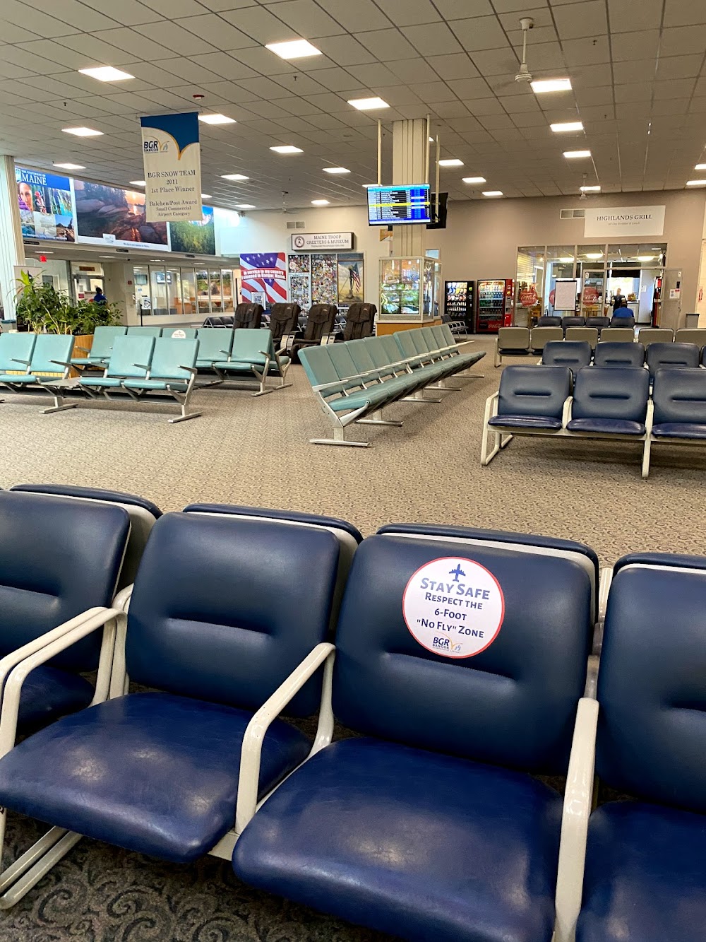
Access: Open to the public
Similar Airports

Current Weather — VFR
-
Weather data is strictly informational and not for flight planning purposes.
-
METAR2026-07-15 23:53:00 EDT
Ceiling: Sky clear Wind: 250° @ 4kt Temperature: 68°F Dewpoint: 51°F Weather: N/A Visbility: 10SM Raw:METAR KBGR 160353Z 25004KT 10SM CLR 20/11 A2970 RMK AO2 SLP053 T02000106 -
TAF2026-07-16 02:00:00 EDT – 2026-07-16 08:00:00 EDT
Ceiling: Sky clear Wind: 250° @ 4kt Weather: N/A Visbility: 6SM Clouds: @ ft Raw:TAF KBGR 160527Z 1606/1706 25004KT P6SM SKC FM161200 28014G22KT P6SM FEW250 FM161700 27014G23KT 5SM -SHRA BR BKN060 PROB30 1617/1620 3SM -TSRA BKN060CB FM162000 31014G23KT P6SM SCT070 -
TAF2026-07-16 08:00:00 EDT – 2026-07-16 13:00:00 EDT
Ceiling: Sky clear Wind: 280° @ 14kt, gusts 22kt Weather: N/A Visbility: 6SM Clouds: Few @ 25,000ft Raw:TAF KBGR 160527Z 1606/1706 25004KT P6SM SKC FM161200 28014G22KT P6SM FEW250 FM161700 27014G23KT 5SM -SHRA BR BKN060 PROB30 1617/1620 3SM -TSRA BKN060CB FM162000 31014G23KT P6SM SCT070 -
TAF2026-07-16 13:00:00 EDT – 2026-07-16 16:00:00 EDT
Ceiling: 6,000ft Wind: 000° @ kt Weather: Light thunderstorm rain Visbility: 3SM Clouds: Broken @ 6,000ft Raw:TAF KBGR 160527Z 1606/1706 25004KT P6SM SKC FM161200 28014G22KT P6SM FEW250 FM161700 27014G23KT 5SM -SHRA BR BKN060 PROB30 1617/1620 3SM -TSRA BKN060CB FM162000 31014G23KT P6SM SCT070 -
TAF2026-07-16 13:00:00 EDT – 2026-07-16 16:00:00 EDT
Ceiling: 6,000ft Wind: 270° @ 14kt, gusts 23kt Weather: Light rain showers, mist Visbility: 5SM Clouds: Broken @ 6,000ft Raw:TAF KBGR 160527Z 1606/1706 25004KT P6SM SKC FM161200 28014G22KT P6SM FEW250 FM161700 27014G23KT 5SM -SHRA BR BKN060 PROB30 1617/1620 3SM -TSRA BKN060CB FM162000 31014G23KT P6SM SCT070 -
TAF2026-07-16 16:00:00 EDT – 2026-07-17 02:00:00 EDT
Ceiling: Sky clear Wind: 310° @ 14kt, gusts 23kt Weather: N/A Visbility: 6SM Clouds: Scattered @ 7,000ft Raw:TAF KBGR 160527Z 1606/1706 25004KT P6SM SKC FM161200 28014G22KT P6SM FEW250 FM161700 27014G23KT 5SM -SHRA BR BKN060 PROB30 1617/1620 3SM -TSRA BKN060CB FM162000 31014G23KT P6SM SCT070
Click/tap to add an annotation marker to the map
No webcams added yet.
Remarks
- This airport has been surveyed by the national geodetic survey.
- Arff index b with index e capabilities avbl 24/7.
- Ang: transient acft may be diverted to civilian side during non-duty hrs & weekends. fee required; no ang transient alert.
- Tfc pat: rwy 33 left tfc, turbo jet tfc 2000' msl unless otherwise instr.
- Misc: rwy 15-33 grooved.
Comments