Pirep is a free, collaborative database of all public and private airports. All pilots are welcome to contribute their local knowledge to any airport, no registration required.

No upcoming events. Is anything happening here soon?
Last updated: 2024-04-30 19:46:56 PDT
Airport Statistics
- WiFi availability
- Crew car availability
- Landing & tie-down fees
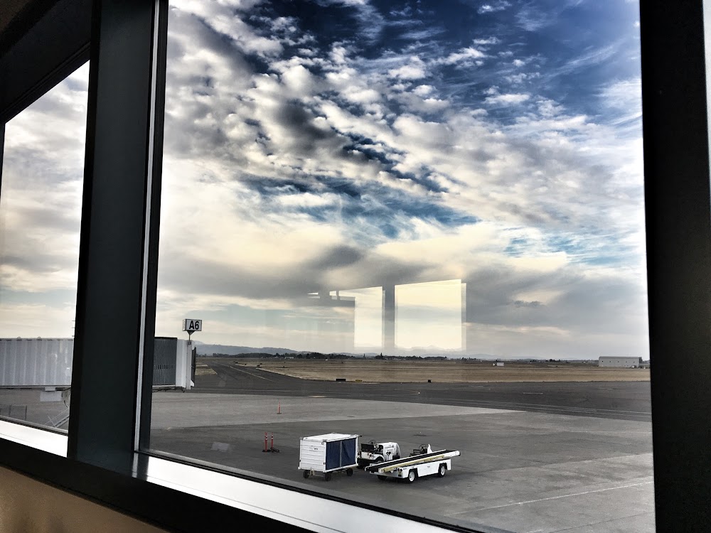
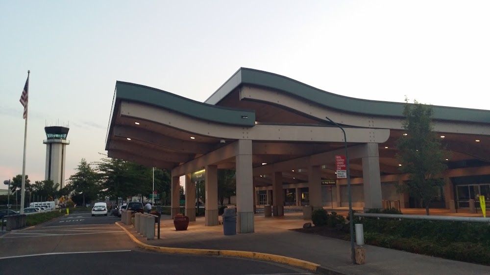
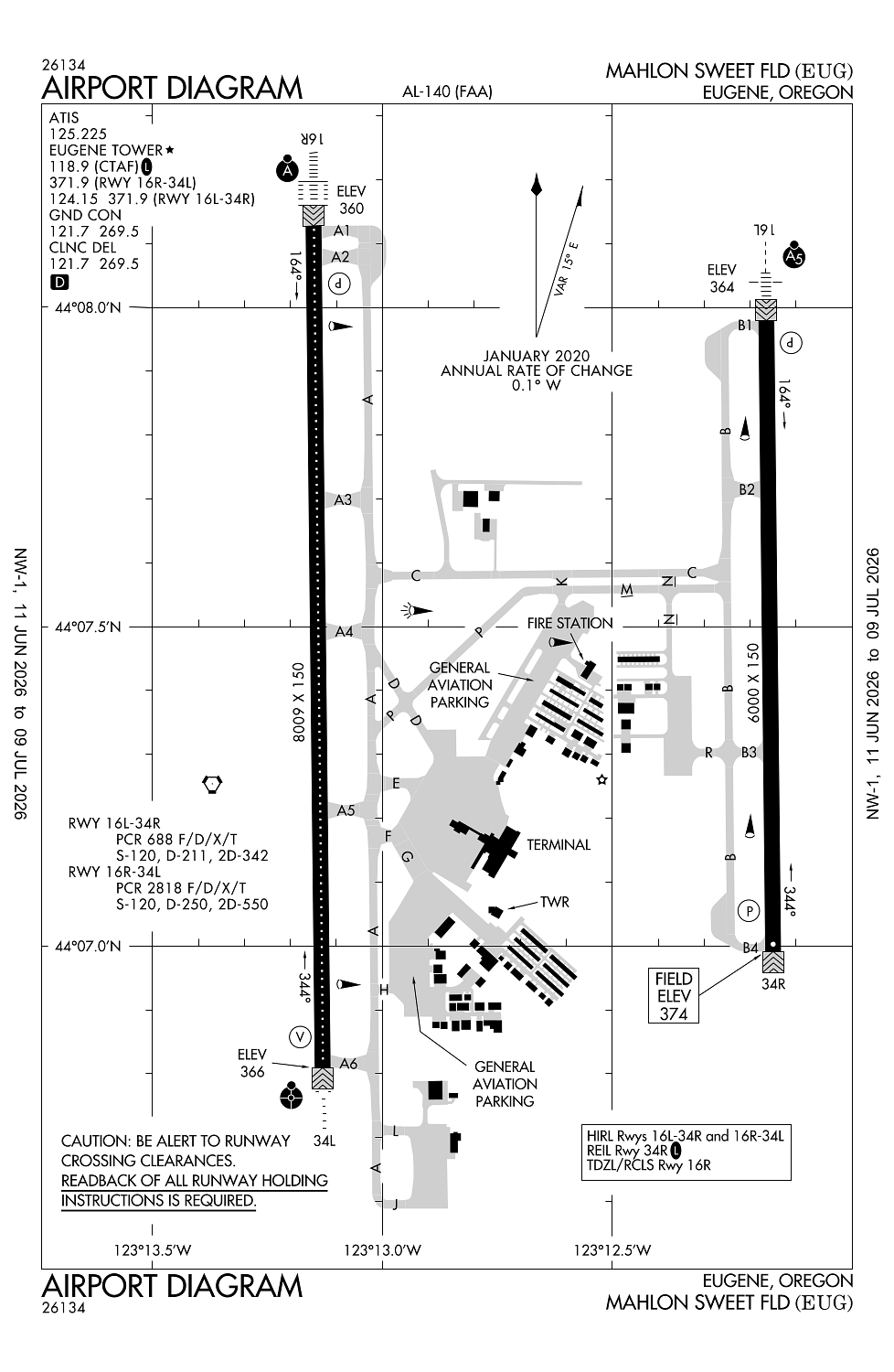
Location:
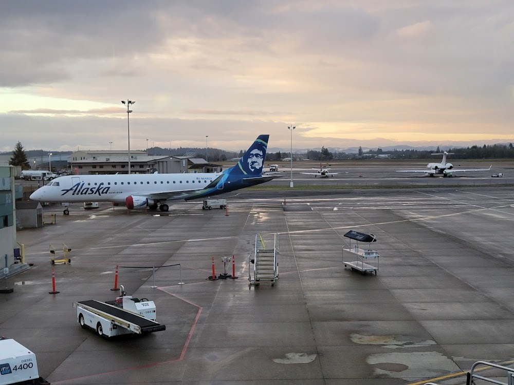
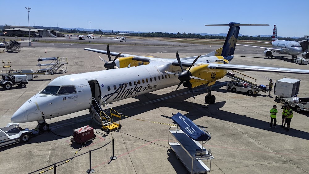
Eugene, OR
Elevation:
373ft
Sectional:
Klamath Falls
Activation date:
Feb 1943
Fuel:
100LL, A (prices)
Runway 16R/34L:
8,009ft
Runway 16L/34R:
6,000ft
Access: Open to the public
Similar Airports

Current Weather — VFR
-
Weather data is strictly informational and not for flight planning purposes.
-
METAR2026-07-24 23:54:00 PDT
Ceiling: Sky clear Wind: 240° @ 4kt Temperature: 60°F Dewpoint: 51°F Weather: N/A Visbility: 10SM Raw:METAR KEUG 250654Z AUTO 24004KT 10SM CLR 16/11 A2998 RMK AO2 SLP151 T01560111 $ -
TAF2026-07-24 23:00:00 PDT – 2026-07-25 05:00:00 PDT
Ceiling: Sky clear Wind: 220° @ 7kt Weather: N/A Visbility: 6SM Clouds: Few @ 2,500ft Raw:TAF KEUG 250520Z 2506/2606 22007KT P6SM FEW025 FM251200 19004KT P6SM BKN025 FM251800 21011G20KT P6SM FEW030 -
TAF2026-07-25 05:00:00 PDT – 2026-07-25 11:00:00 PDT
Ceiling: 2,500ft Wind: 190° @ 4kt Weather: N/A Visbility: 6SM Clouds: Broken @ 2,500ft Raw:TAF KEUG 250520Z 2506/2606 22007KT P6SM FEW025 FM251200 19004KT P6SM BKN025 FM251800 21011G20KT P6SM FEW030 -
TAF2026-07-25 11:00:00 PDT – 2026-07-25 23:00:00 PDT
Ceiling: Sky clear Wind: 210° @ 11kt, gusts 20kt Weather: N/A Visbility: 6SM Clouds: Few @ 3,000ft Raw:TAF KEUG 250520Z 2506/2606 22007KT P6SM FEW025 FM251200 19004KT P6SM BKN025 FM251800 21011G20KT P6SM FEW030
Click/tap to add an annotation marker to the map
No webcams added yet.
Remarks
- Ppr for unsked acr ops gtr than 30 pax seats - 541-682-5430. arff avbl h24. arff index d h24; ppr.
- Waterfowl & birds on & invof arpt.
- Twys h & k unavbl to 21000 lb sw & 40000 lb dw gwt.
- Trml apron clsd; ppr exc sked acr.
- Hel arr & dep avoid otfc of airline pax trml & ramp e of rwy 16r/34l.
Comments