Pirep is a free, collaborative database of all public and private airports. All pilots are welcome to contribute their local knowledge to any airport, no registration required.

Upcoming Events
-
Fri, Jul 31 2026 8:30am – Sun, Aug 2 2026 6:00pm
- Event webpage: https://www.seafair.org/seafairairshow
Last updated: 2023-10-16 15:26:04 PDT
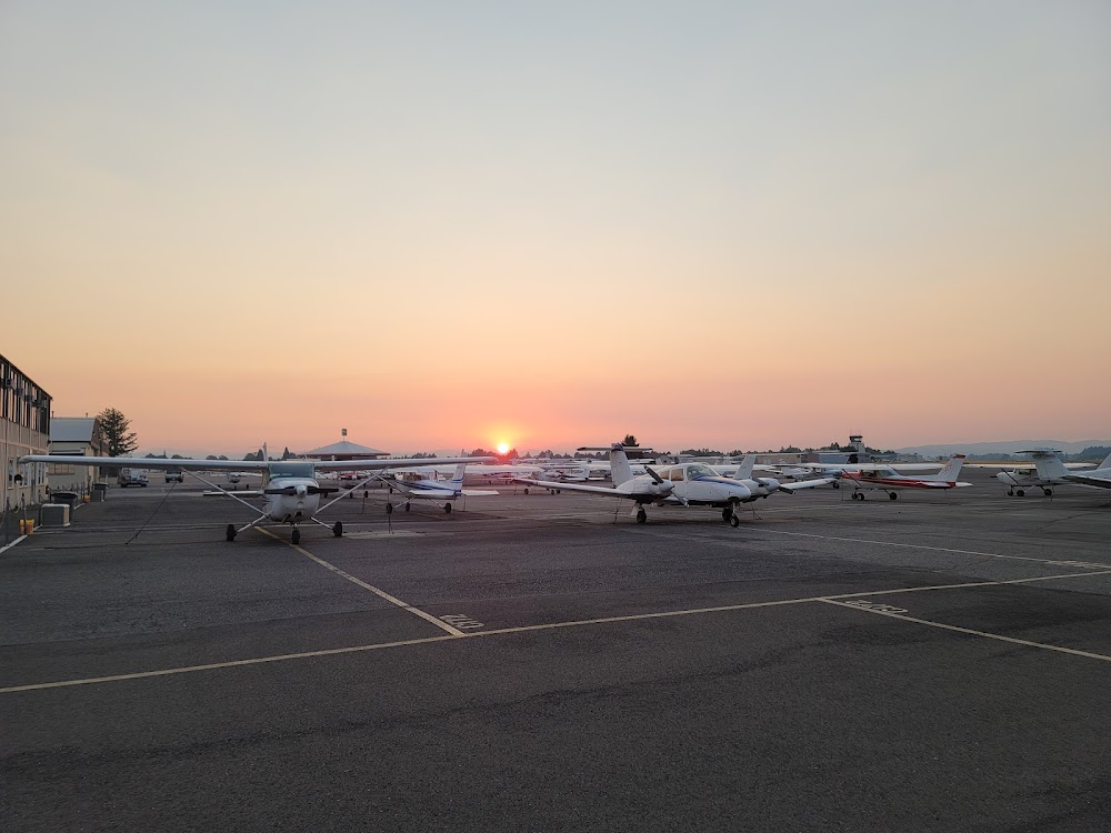
Last updated: 2023-04-18 11:42:42 PDT
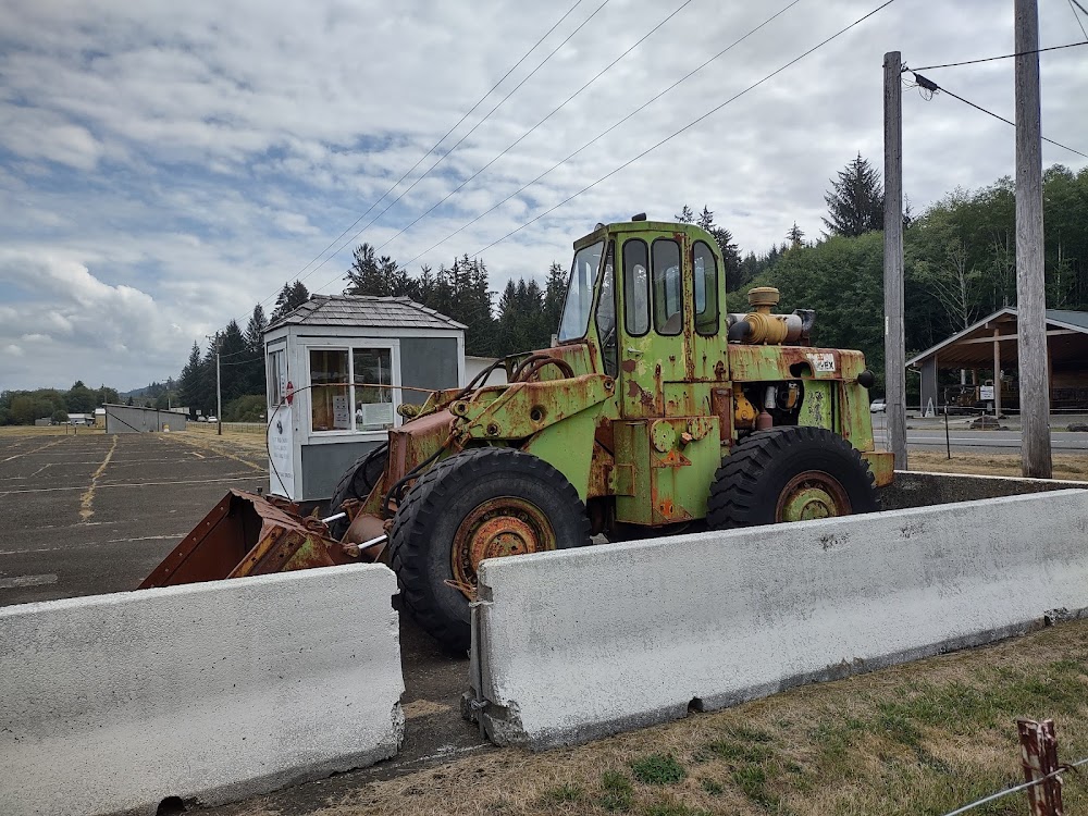
Last updated: 2023-04-18 11:42:42 PDT
Airport Statistics
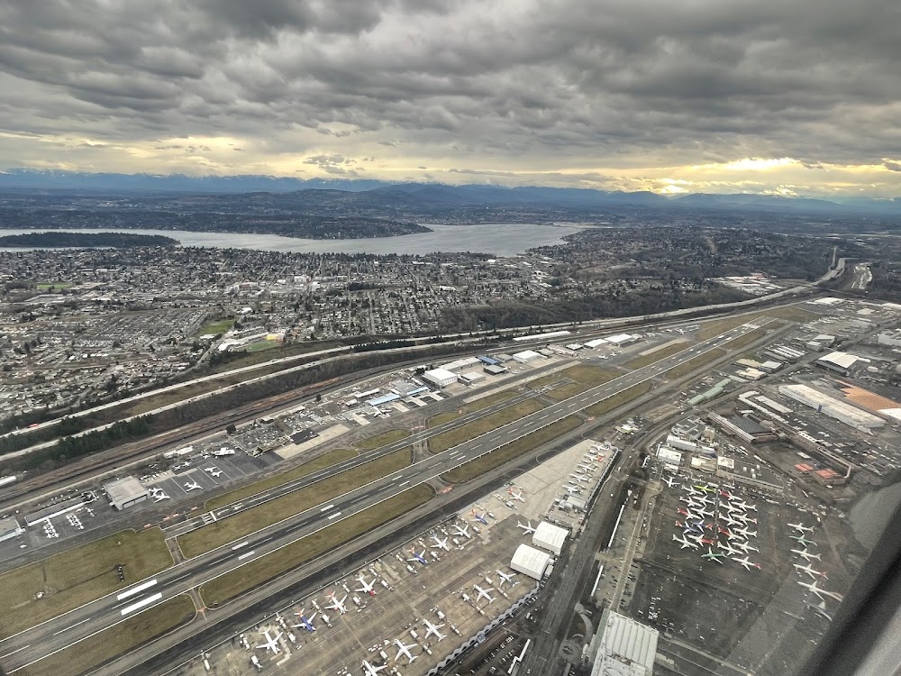
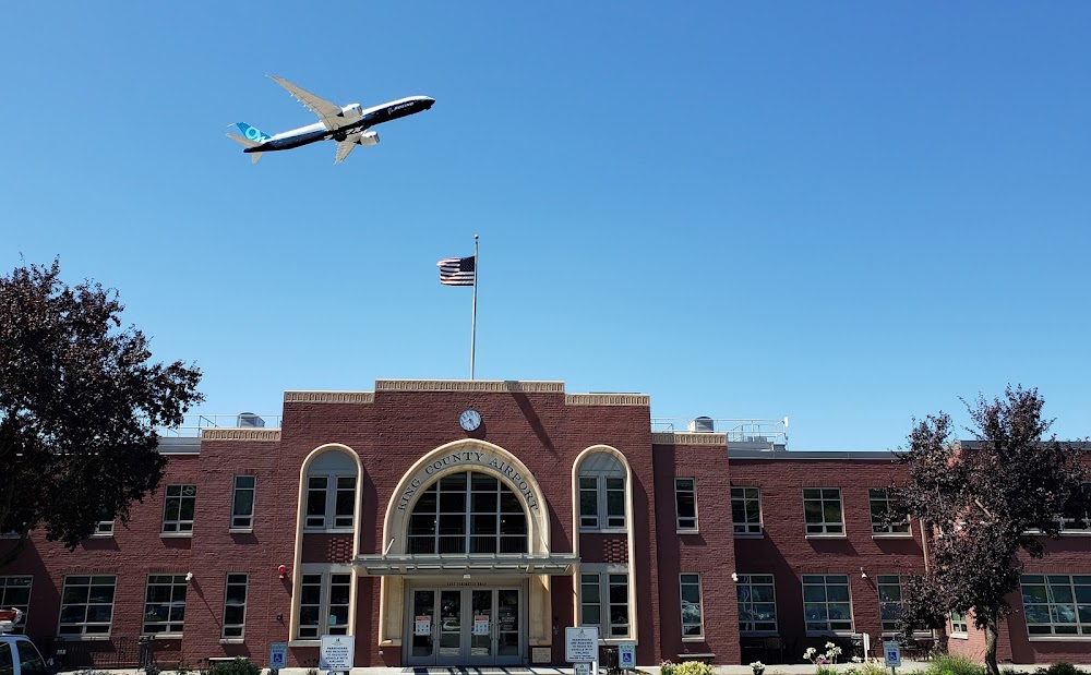
Location:
Seattle, WA
Elevation:
21ft
Sectional:
Seattle
Activation date:
Nov 1938
Fuel:
100LL, A (prices)
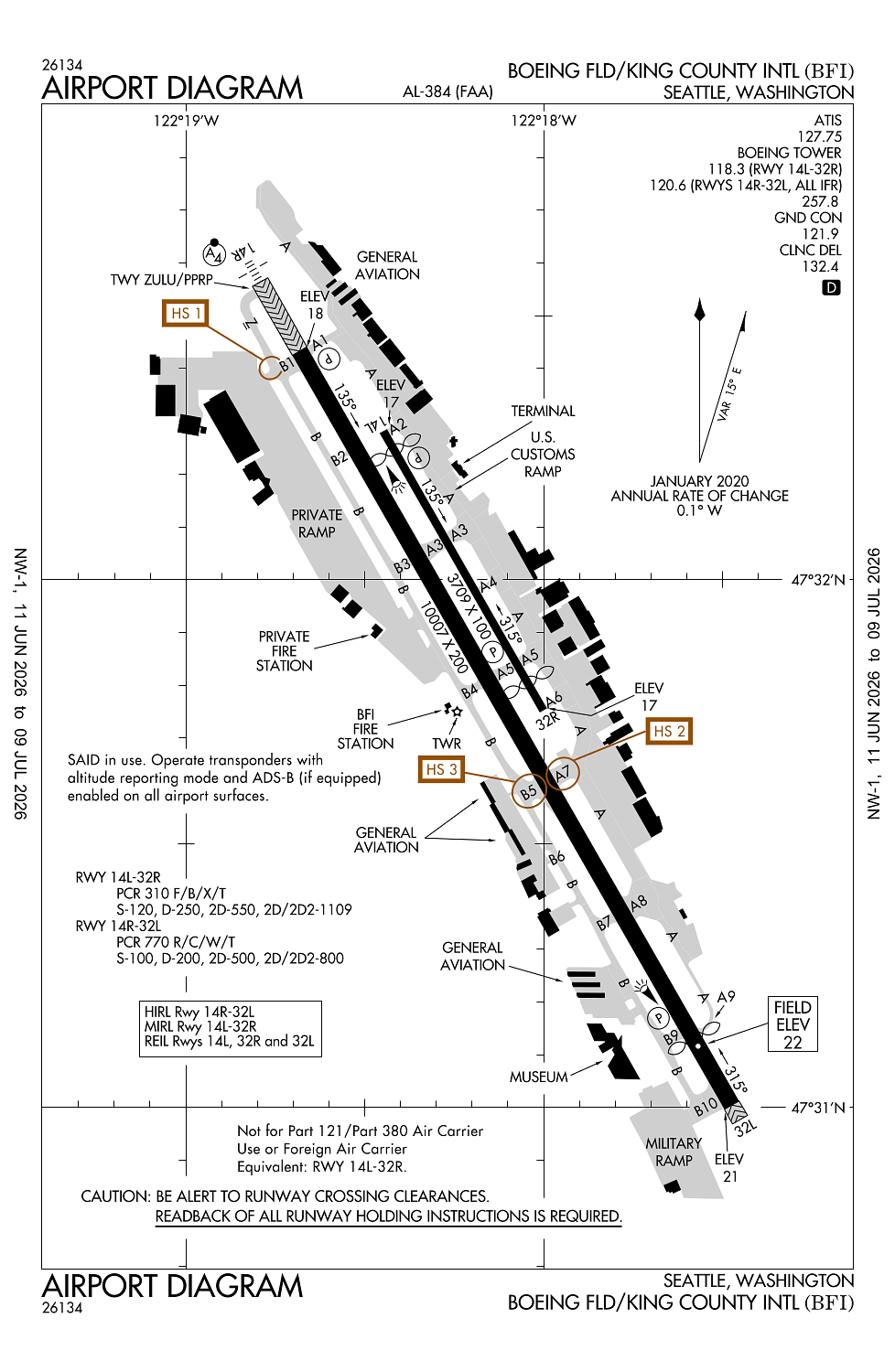
Runway 14R/32L:
10,007ft
Runway 14L/32R:
3,709ft
Access: Open to the public
Similar Airports

Current Weather — VFR
-
Weather data is strictly informational and not for flight planning purposes.
-
METAR2026-07-17 11:53:00 PDT
Ceiling: 4,600ft Wind: 220° @ 9kt, gusts 18kt Temperature: 68°F Dewpoint: 48°F Weather: N/A Visbility: 10SM Clouds: Overcast @ 4,600ft Raw:METAR KBFI 171853Z 22009G18KT 190V250 10SM OVC046 20/09 A3005 RMK AO2 SLP175 T02000094 -
TAF2026-07-17 11:00:00 PDT – 2026-07-17 14:00:00 PDT
Ceiling: 4,000ft Wind: 220° @ 6kt Weather: N/A Visbility: 6SM Clouds: Scattered @ 2,000ft, Broken @ 4,000ft Raw:TAF KBFI 171733Z 1718/1818 22006KT P6SM SCT020 BKN040 FM172100 25006KT P6SM SCT050 FM180200 30006KT P6SM SCT050 FM180600 VRB03KT P6SM FEW050 FM181000 20005KT P6SM SCT025 BKN035 FM181700 24004KT P6SM SCT030 -
TAF2026-07-17 14:00:00 PDT – 2026-07-17 19:00:00 PDT
Ceiling: Sky clear Wind: 250° @ 6kt Weather: N/A Visbility: 6SM Clouds: Scattered @ 5,000ft Raw:TAF KBFI 171733Z 1718/1818 22006KT P6SM SCT020 BKN040 FM172100 25006KT P6SM SCT050 FM180200 30006KT P6SM SCT050 FM180600 VRB03KT P6SM FEW050 FM181000 20005KT P6SM SCT025 BKN035 FM181700 24004KT P6SM SCT030 -
TAF2026-07-17 19:00:00 PDT – 2026-07-17 23:00:00 PDT
Ceiling: Sky clear Wind: 300° @ 6kt Weather: N/A Visbility: 6SM Clouds: Scattered @ 5,000ft Raw:TAF KBFI 171733Z 1718/1818 22006KT P6SM SCT020 BKN040 FM172100 25006KT P6SM SCT050 FM180200 30006KT P6SM SCT050 FM180600 VRB03KT P6SM FEW050 FM181000 20005KT P6SM SCT025 BKN035 FM181700 24004KT P6SM SCT030 -
TAF2026-07-17 23:00:00 PDT – 2026-07-18 03:00:00 PDT
Ceiling: Sky clear Wind: Variable Weather: N/A Visbility: 6SM Clouds: Few @ 5,000ft Raw:TAF KBFI 171733Z 1718/1818 22006KT P6SM SCT020 BKN040 FM172100 25006KT P6SM SCT050 FM180200 30006KT P6SM SCT050 FM180600 VRB03KT P6SM FEW050 FM181000 20005KT P6SM SCT025 BKN035 FM181700 24004KT P6SM SCT030 -
TAF2026-07-18 03:00:00 PDT – 2026-07-18 10:00:00 PDT
Ceiling: 3,500ft Wind: 200° @ 5kt Weather: N/A Visbility: 6SM Clouds: Scattered @ 2,500ft, Broken @ 3,500ft Raw:TAF KBFI 171733Z 1718/1818 22006KT P6SM SCT020 BKN040 FM172100 25006KT P6SM SCT050 FM180200 30006KT P6SM SCT050 FM180600 VRB03KT P6SM FEW050 FM181000 20005KT P6SM SCT025 BKN035 FM181700 24004KT P6SM SCT030 -
TAF2026-07-18 10:00:00 PDT – 2026-07-18 11:00:00 PDT
Ceiling: Sky clear Wind: 240° @ 4kt Weather: N/A Visbility: 6SM Clouds: Scattered @ 3,000ft Raw:TAF KBFI 171733Z 1718/1818 22006KT P6SM SCT020 BKN040 FM172100 25006KT P6SM SCT050 FM180200 30006KT P6SM SCT050 FM180600 VRB03KT P6SM FEW050 FM181000 20005KT P6SM SCT025 BKN035 FM181700 24004KT P6SM SCT030
Click/tap to add an annotation marker to the map

Remarks
- Estabd prior to 1959.
- Tpa rwy 14l/32r 1000 msl; rwy 14r/32l 800 msl.
- Touch and go lndgs prohibited 2200-0700.
- Bird flocks within arpt vicinity. - check local advisories.
- Flight notification service (adcus) avbl.
Comments