Pirep is a free, collaborative database of all public and private airports. All pilots are welcome to contribute their local knowledge to any airport, no registration required.
Last updated: 2024-10-02 18:23:09 PDT
Last updated: 2024-10-02 18:23:09 PDT
Airport Statistics
- Landing & tie-down fees
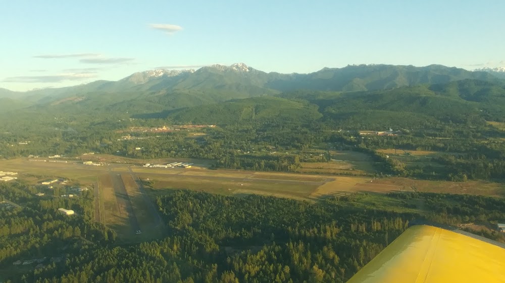
- Airport photos
- WiFi availability
Location:
Astoria, OR
Elevation:
14ft
Sectional:
Seattle
Activation date:
Jul 1938
Fuel:
100LL, A, A+ (prices)
Runway 08/26:
5,794ft
Runway 14/32:
4,467ft
Access: Open to the public
Similar Airports
Current Weather — VFR
-
Weather data is strictly informational and not for flight planning purposes.
-
METAR2026-04-07 23:55:00 PDT
Ceiling: Sky clear Wind: 130° @ 4kt Temperature: 39°F Dewpoint: 37°F Weather: N/A Visbility: 10SM Raw:METAR KAST 080655Z AUTO 13004KT 10SM CLR 04/03 A3011 RMK AO2 SLP197 T00440028 -
TAF2026-04-07 23:00:00 PDT – 2026-04-08 02:00:00 PDT
Ceiling: Sky clear Wind: 300° @ 5kt Weather: N/A Visbility: 6SM Clouds: Scattered @ 25,000ft Raw:TAF KAST 080520Z 0806/0906 30005KT P6SM SCT250 FM080900 10003KT P6SM SCT015 BKN250 FM081300 10003KT P6SM BKN015 FM081800 32008KT P6SM SCT250 -
TAF2026-04-08 02:00:00 PDT – 2026-04-08 06:00:00 PDT
Ceiling: 25,000ft Wind: 100° @ 3kt Weather: N/A Visbility: 6SM Clouds: Scattered @ 1,500ft, Broken @ 25,000ft Raw:TAF KAST 080520Z 0806/0906 30005KT P6SM SCT250 FM080900 10003KT P6SM SCT015 BKN250 FM081300 10003KT P6SM BKN015 FM081800 32008KT P6SM SCT250 -
TAF2026-04-08 06:00:00 PDT – 2026-04-08 11:00:00 PDT
Ceiling: 1,500ft Wind: 100° @ 3kt Weather: N/A Visbility: 6SM Clouds: Broken @ 1,500ft Raw:TAF KAST 080520Z 0806/0906 30005KT P6SM SCT250 FM080900 10003KT P6SM SCT015 BKN250 FM081300 10003KT P6SM BKN015 FM081800 32008KT P6SM SCT250 -
TAF2026-04-08 11:00:00 PDT – 2026-04-08 23:00:00 PDT
Ceiling: Sky clear Wind: 320° @ 8kt Weather: N/A Visbility: 6SM Clouds: Scattered @ 25,000ft Raw:TAF KAST 080520Z 0806/0906 30005KT P6SM SCT250 FM080900 10003KT P6SM SCT015 BKN250 FM081300 10003KT P6SM BKN015 FM081800 32008KT P6SM SCT250
Click/tap to add an annotation marker to the map
No webcams added yet.
Remarks
- Estabd prior to 1959.
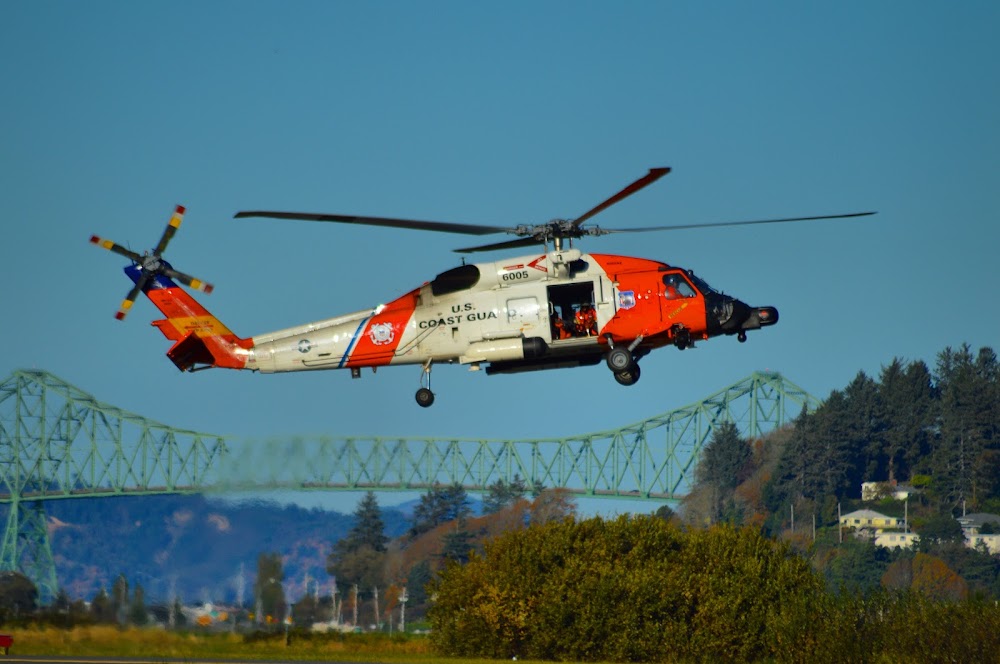
- Migratory flocks of waterfowl on & invof arpt.
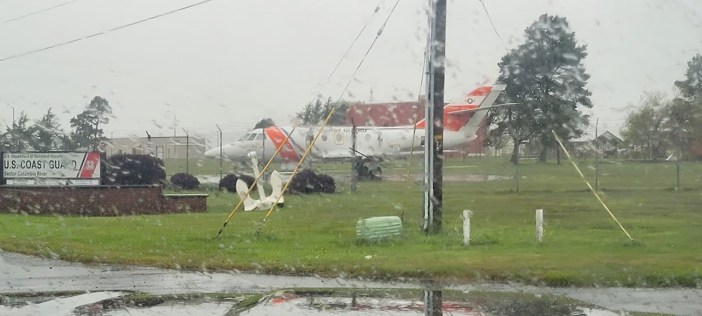
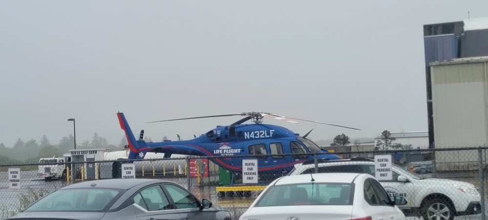
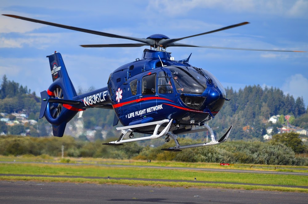
- High concentration hel opns in area.
- (e94) sawrs.
- Rwy 14/32 has basic markings with side stripes.
- For cd if una to ctc on fss freq, ctc seattle artcc at 253-351-3694.
- Actvt mirl rwy 08/26 & ry 14/32, malsr rwy 26 and reil rwy 08 - ctaf.
- For fuel outside nml working hrs ctc fbo 503-298-7531.
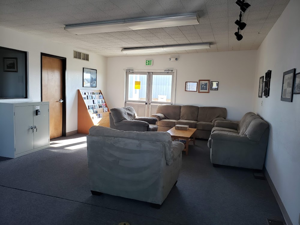
Astoria is a great airport to fly out to, the pilots lounge has a great porch to sit and hang out on days when it’s stupid hot in the interior but nice and cool on the coast. More often than not I catch a bit of a burble on final into 32.