Pirep is a free, collaborative database of all public and private airports. All pilots are welcome to contribute their local knowledge to any airport, no registration required.

No upcoming events. Is anything happening here soon?
Last updated: 2026-06-10 17:39:10 PDT
Last updated: 2026-06-10 17:39:10 PDT
Last updated: 2026-06-10 17:39:10 PDT
Last updated: 2026-06-10 17:39:10 PDT
Airport Statistics
Location:
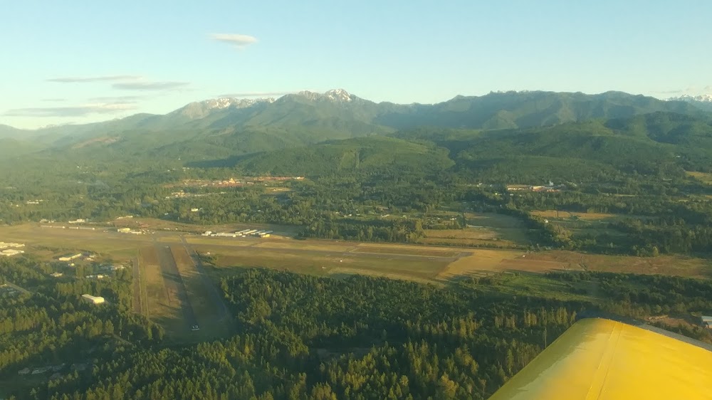
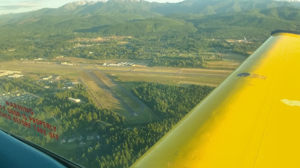
Port Angeles, WA
Elevation:
291ft
Sectional:
Seattle
Activation date:
Aug 1937
Fuel:
100LL, A (prices)
Runway 08/26:
6,347ft
Runway 09/27:
6,347ft
Runway 13/31:
3,255ft
Access: Open to the public
Similar Airports
Current Weather — VFR
-
Weather data is strictly informational and not for flight planning purposes.
-
METAR2026-06-15 02:53:00 PDT
Ceiling: Sky clear Wind: 240° @ 10kt Temperature: 71°F Dewpoint: 41°F Weather: N/A Visbility: 10SM Raw:METAR KCLM 150953Z AUTO 24010KT 10SM CLR 22/05 A3007 RMK AO2 SLP179 T02220050 -
TAF2026-06-14 23:00:00 PDT – 2026-06-15 08:00:00 PDT
Ceiling: Sky clear Wind: 260° @ 5kt Weather: N/A Visbility: 6SM Clouds: Scattered @ 25,000ft Raw:TAF KCLM 150524Z 1506/1606 26005KT P6SM SCT250 FM151500 VRB03KT P6SM BKN250 FM151800 33009KT P6SM BKN250 FM152200 30011G22KT P6SM BKN250 FM160400 28010KT P6SM BKN250 -
TAF2026-06-15 08:00:00 PDT – 2026-06-15 11:00:00 PDT
Ceiling: 25,000ft Wind: Variable Weather: N/A Visbility: 6SM Clouds: Broken @ 25,000ft Raw:TAF KCLM 150524Z 1506/1606 26005KT P6SM SCT250 FM151500 VRB03KT P6SM BKN250 FM151800 33009KT P6SM BKN250 FM152200 30011G22KT P6SM BKN250 FM160400 28010KT P6SM BKN250 -
TAF2026-06-15 11:00:00 PDT – 2026-06-15 15:00:00 PDT
Ceiling: 25,000ft Wind: 330° @ 9kt Weather: N/A Visbility: 6SM Clouds: Broken @ 25,000ft Raw:TAF KCLM 150524Z 1506/1606 26005KT P6SM SCT250 FM151500 VRB03KT P6SM BKN250 FM151800 33009KT P6SM BKN250 FM152200 30011G22KT P6SM BKN250 FM160400 28010KT P6SM BKN250 -
TAF2026-06-15 15:00:00 PDT – 2026-06-15 21:00:00 PDT
Ceiling: 25,000ft Wind: 300° @ 11kt, gusts 22kt Weather: N/A Visbility: 6SM Clouds: Broken @ 25,000ft Raw:TAF KCLM 150524Z 1506/1606 26005KT P6SM SCT250 FM151500 VRB03KT P6SM BKN250 FM151800 33009KT P6SM BKN250 FM152200 30011G22KT P6SM BKN250 FM160400 28010KT P6SM BKN250 -
TAF2026-06-15 21:00:00 PDT – 2026-06-15 23:00:00 PDT
Ceiling: 25,000ft Wind: 280° @ 10kt Weather: N/A Visbility: 6SM Clouds: Broken @ 25,000ft Raw:TAF KCLM 150524Z 1506/1606 26005KT P6SM SCT250 FM151500 VRB03KT P6SM BKN250 FM151800 33009KT P6SM BKN250 FM152200 30011G22KT P6SM BKN250 FM160400 28010KT P6SM BKN250
Click/tap to add an annotation marker to the map
Remarks
- Rwy 13/31 clsd dusk to dawn.
- For cd if una to ctc on fss freq, ctc whidbey apch at 360-257-3310.
- Actvt malsr rwy 09; mirl rwy 09/27 - ctaf.
- For aft hrs jet a call 360-452-6226.
- +35' bldg; dist 520'; 500' left; 15:1 based on dsplcd thr.
- +35' bldg; dist 520'; 500' left; 15:1 based on dsplcd thr.
- Ldg fee for acft in excess of 7000 lbs.
- Unusbl byd 5.0 nm due to high terrain
Comments