Pirep is a free, collaborative database of all public and private airports. All pilots are welcome to contribute their local knowledge to any airport, no registration required.

No upcoming events. Is anything happening here soon?
Last updated: 2023-04-28 12:31:03 PDT
Last updated: 2024-02-10 23:29:36 PST
Airport Statistics
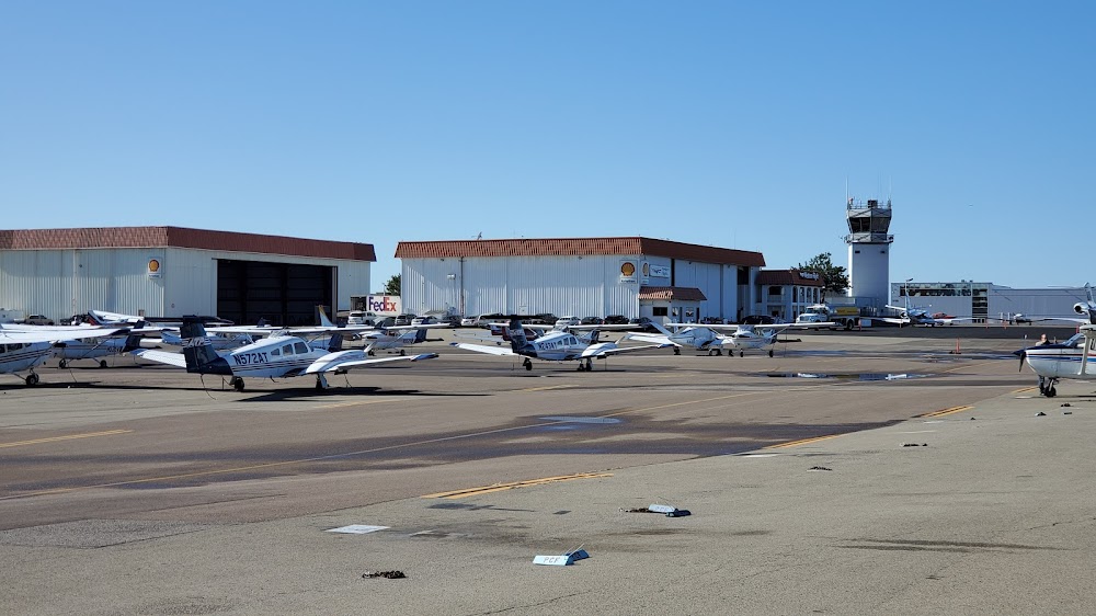
- Transient parking location
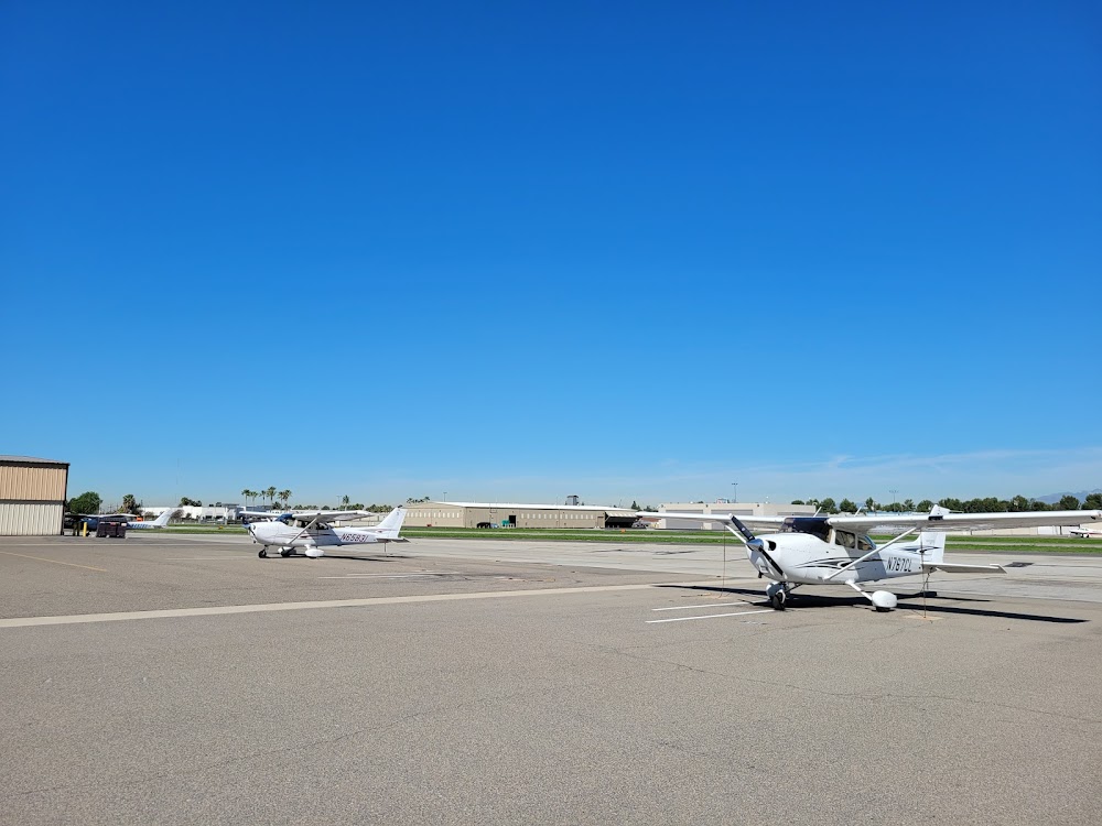
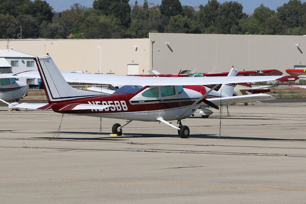
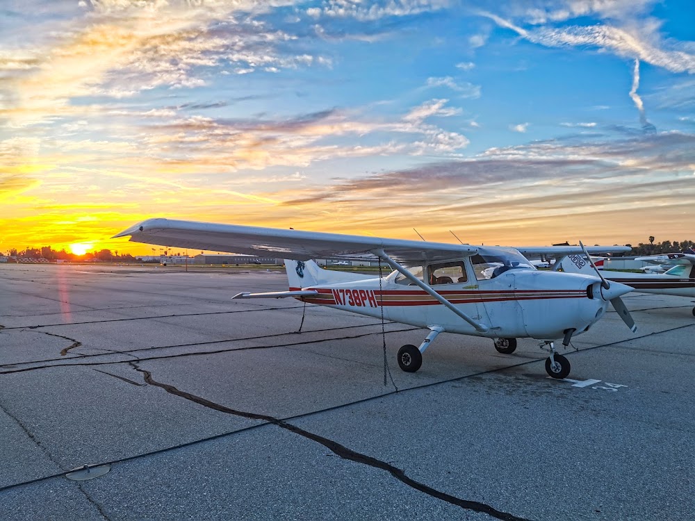
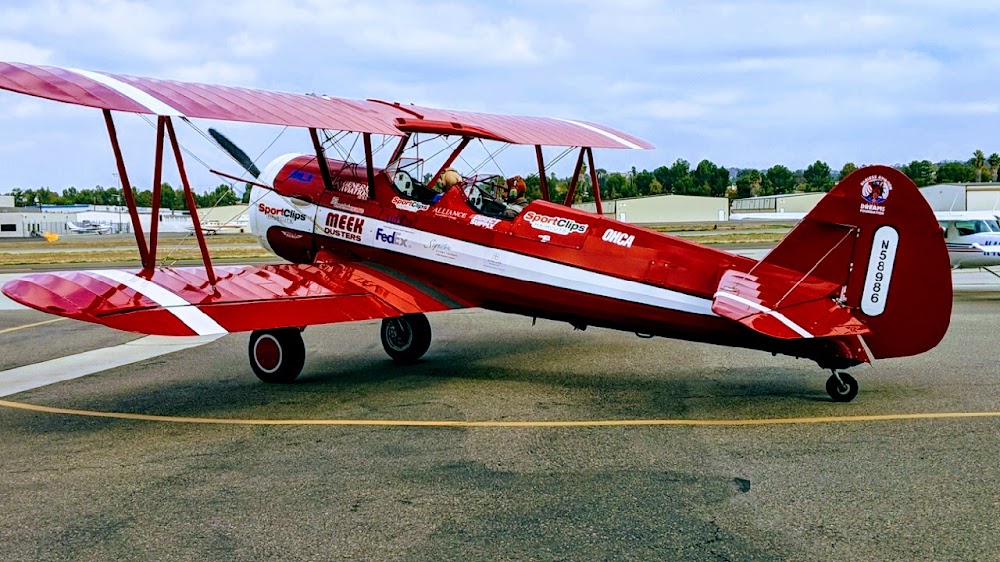
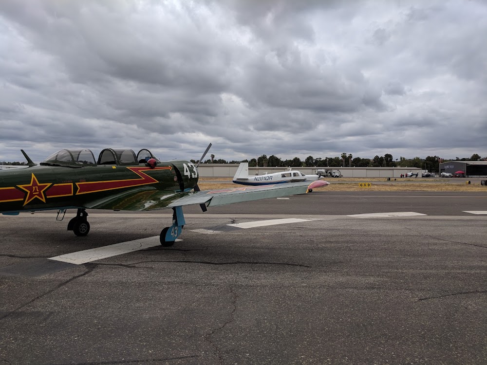
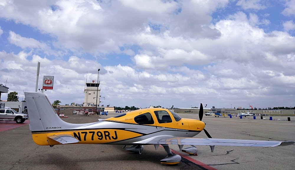
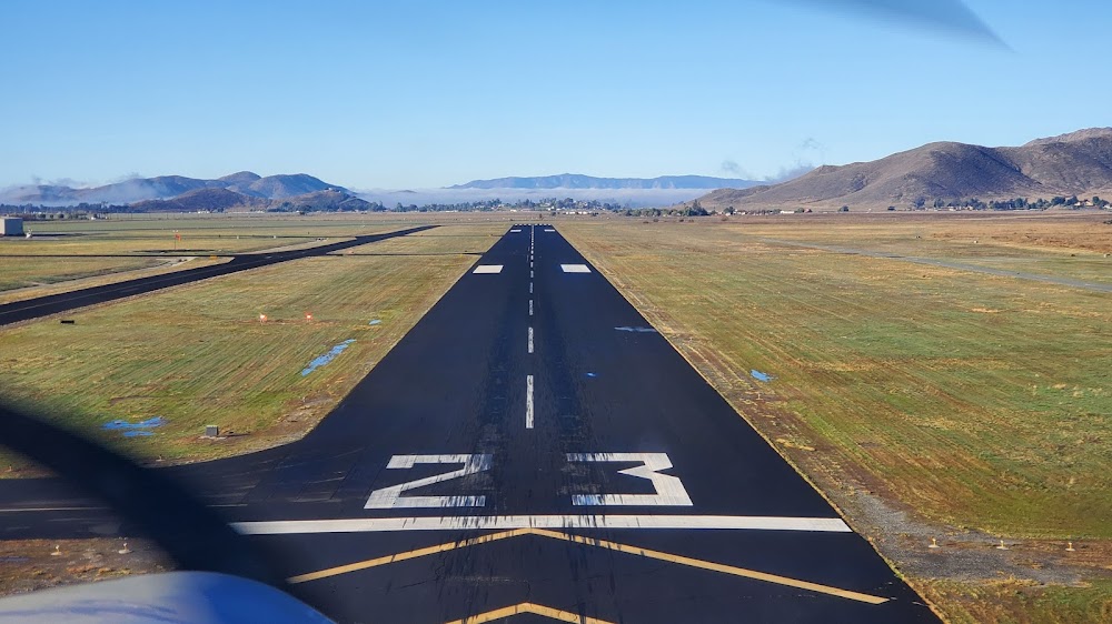
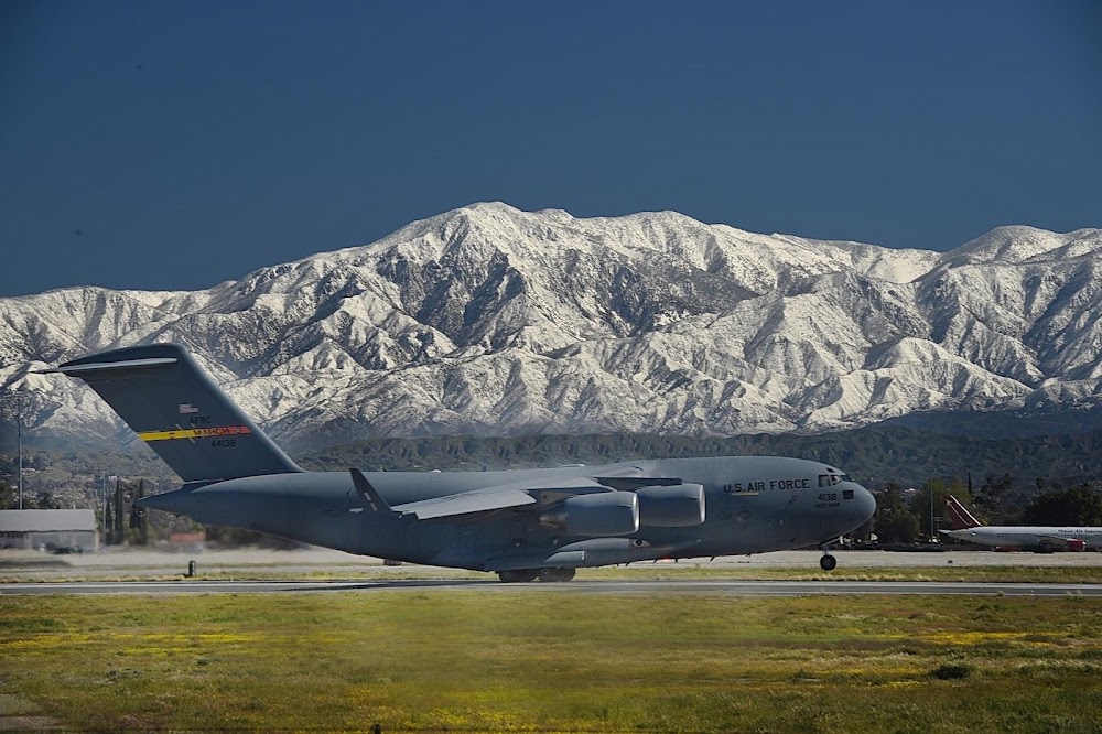
- Airport photos
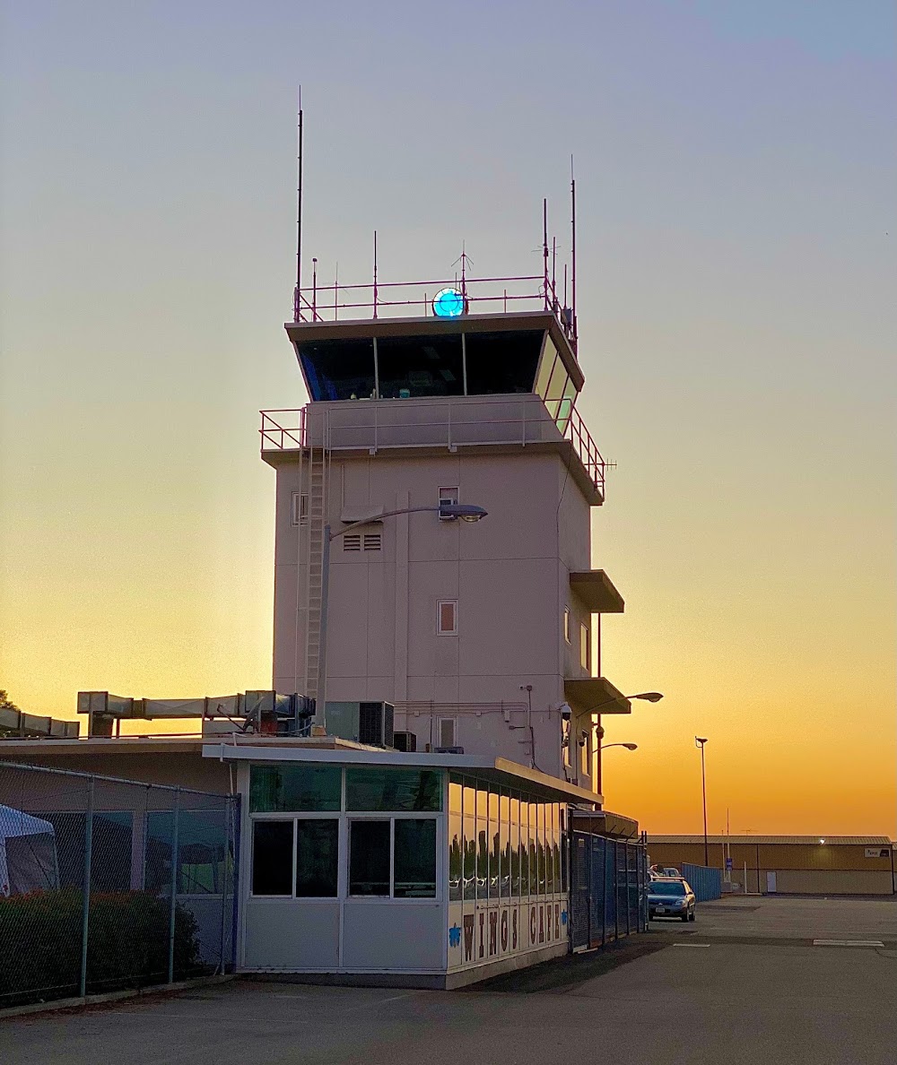
- Webcam links
Location:
Fullerton, CA
Elevation:
96ft
Sectional:
Los Angeles
Activation date:
Apr 1940
Fuel:
100LL, A (prices)
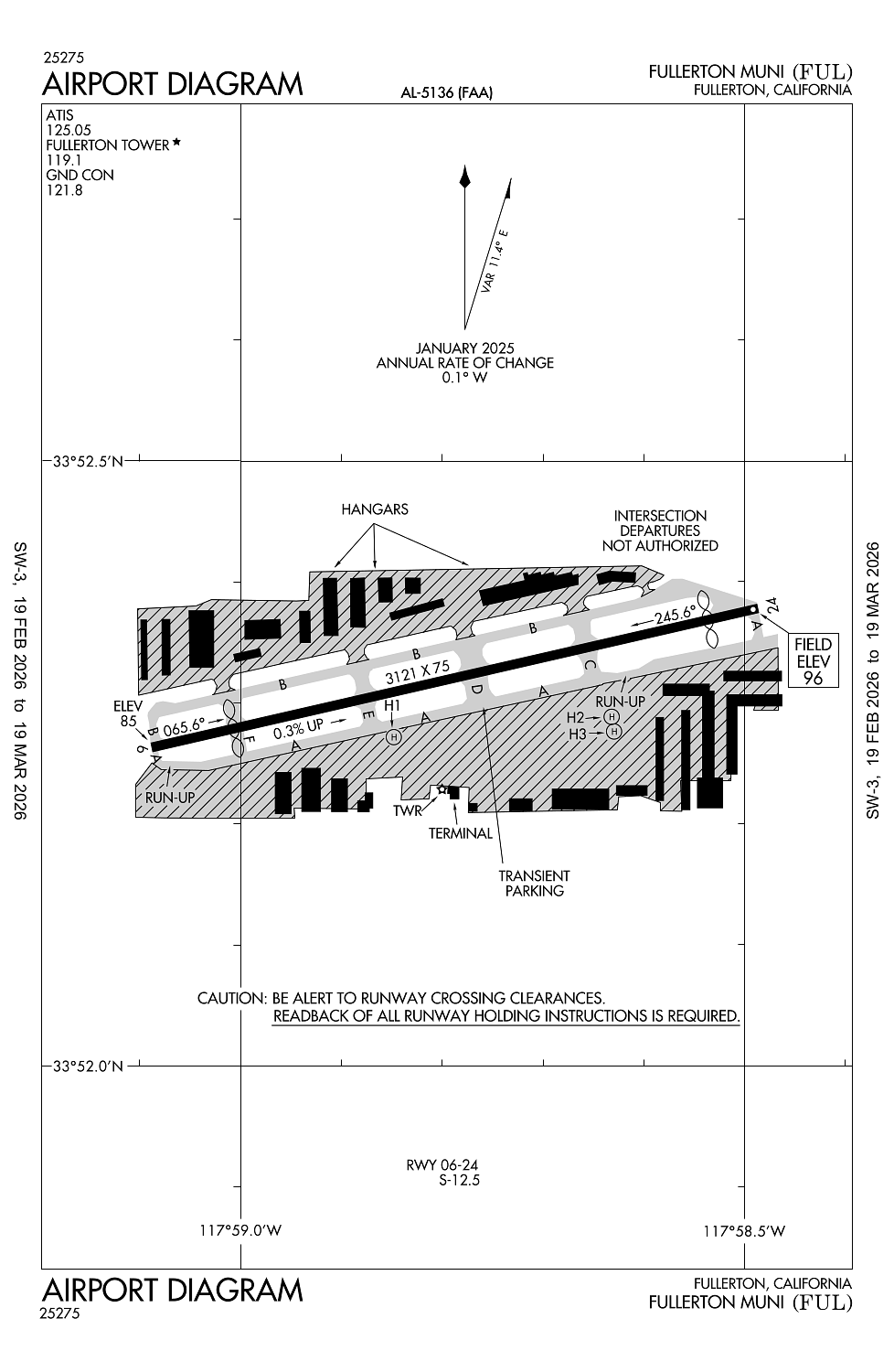
Runway 06/24:
3,121ft
Runway H1:
45ft
Runway H2:
45ft
Runway H3:
45ft
Access: Open to the public
Similar Airports
Current Weather — VFR
-
Weather data is strictly informational and not for flight planning purposes.
-
METAR2026-03-15 15:53:00 PDT
Ceiling: Sky clear Wind: 190° @ 6kt Temperature: 77°F Dewpoint: 57°F Weather: N/A Visbility: 10SM Raw:METAR KFUL 152253Z 19006KT 10SM CLR 25/14 A2993 RMK AO2 SLP133 T02500139 $
Click/tap to add an annotation marker to the map
No webcams added yet.
Remarks
- This airport has been surveyed by the national geodetic survey.
- Arpt has noise abatement procedures ctc amgr (714) 738-6323.
- Ry 06 calm wind ry.
- Portions of twy a btn intersection f & west end not vsbl fm atct.
- For noise abatement ry 06 preferred for tkof; follow rr tracks to east with no turns blo 1000 ft agl. ry 24 dep climb to 700 ft agl prior to turns.
Comments