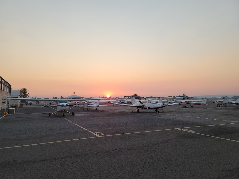
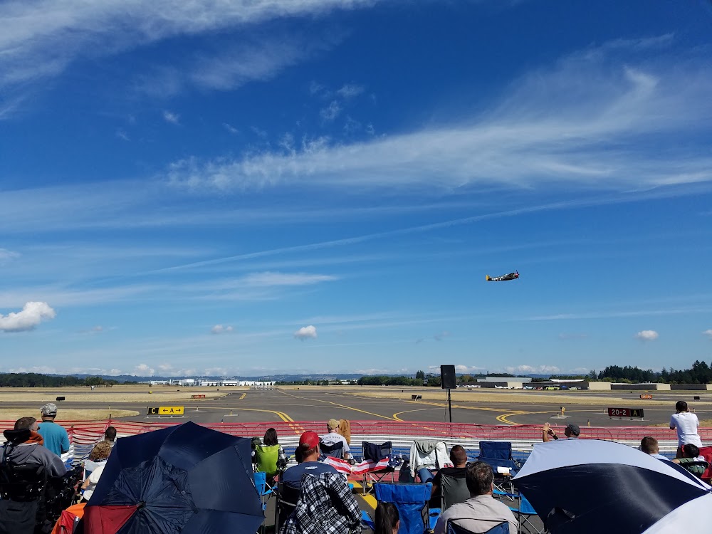
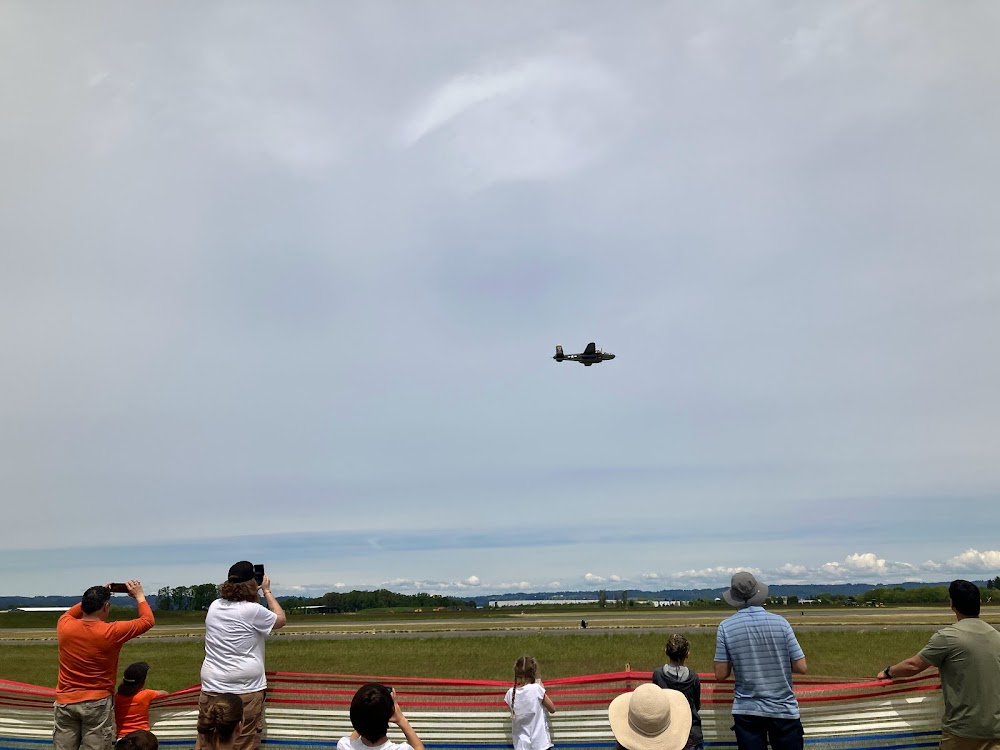
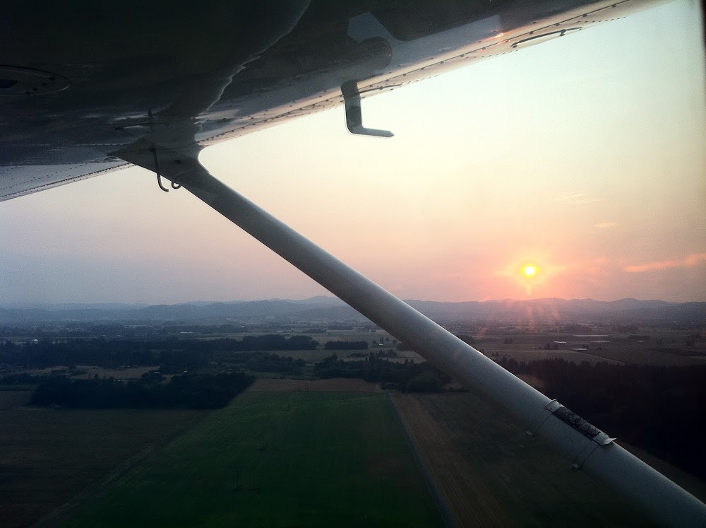
Pirep is a free, collaborative database of all public and private airports. All pilots are welcome to contribute their local knowledge to any airport, no registration required.
No upcoming events. Is anything happening here soon?
Last updated: 2025-10-15 13:59:37 PDT
Last updated: 2024-01-02 10:27:37 PST
Last updated: 2025-10-15 13:59:37 PDT
Last updated: 2024-01-14 19:05:45 PST
Last updated: 2024-02-01 18:46:56 PST
Airport Statistics
Location:
Portland, OR
Elevation:
207ft
Sectional:
Seattle
Activation date:
Dec 1938
Fuel:
100LL, A (prices)
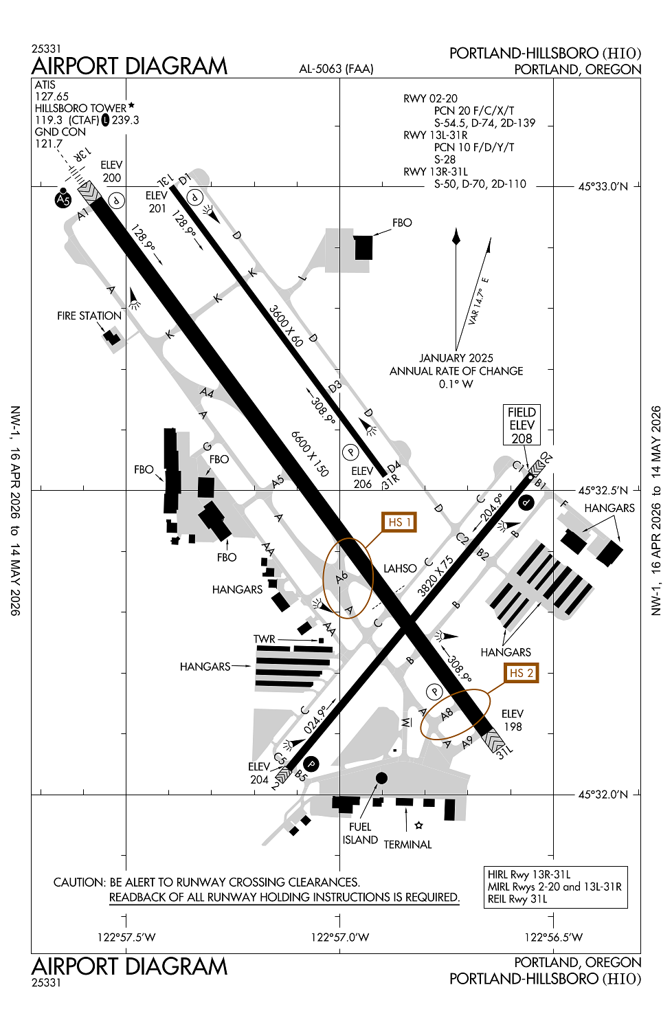
Runway 13R/31L:
6,600ft
Runway 02/20:
3,820ft
Runway 13L/31R:
3,600ft
Access: Open to the public
Similar Airports
Current Weather — VFR
-
Weather data is strictly informational and not for flight planning purposes.
-
METAR2026-05-02 06:53:00 PDT
Ceiling: Sky clear Wind: 300° @ 3kt Temperature: 48°F Dewpoint: 44°F Weather: N/A Visbility: 10SM Clouds: Scattered @ 12,000ft Raw:METAR KHIO 021353Z 30003KT 10SM SCT120 09/07 A3001 RMK AO2 SLP160 T00940072 -
TAF2026-05-02 07:00:00 PDT – 2026-05-02 09:00:00 PDT
Ceiling: 10,000ft Wind: 330° @ 2kt Weather: Thunderstorm in vicinity Visbility: 6SM Clouds: Scattered @ 3,000ft, Broken @ 10,000ft Raw:TAF KHIO 021429Z 0214/0312 33002KT P6SM VCTS SCT030CB BKN100 FM021600 02005KT P6SM SCT250 FM030300 32002KT P6SM FEW200 -
TAF2026-05-02 09:00:00 PDT – 2026-05-02 20:00:00 PDT
Ceiling: Sky clear Wind: 020° @ 5kt Weather: N/A Visbility: 6SM Clouds: Scattered @ 25,000ft Raw:TAF KHIO 021429Z 0214/0312 33002KT P6SM VCTS SCT030CB BKN100 FM021600 02005KT P6SM SCT250 FM030300 32002KT P6SM FEW200 -
TAF2026-05-02 20:00:00 PDT – 2026-05-03 05:00:00 PDT
Ceiling: Sky clear Wind: 320° @ 2kt Weather: N/A Visbility: 6SM Clouds: Few @ 20,000ft Raw:TAF KHIO 021429Z 0214/0312 33002KT P6SM VCTS SCT030CB BKN100 FM021600 02005KT P6SM SCT250 FM030300 32002KT P6SM FEW200
Click/tap to add an annotation marker to the map
Remarks
- Be alert for bird activity in vicinity nov-may.
- Cstms avbl 2000-0400z++ 503-693-1069, otherwise cstms flt notification svc (adcus) avbl; advance coordination req 503-326-3230.
- Noise abatement procedures in effect call 503-460-4100 or 800-938-6647.
- Ry 13r run-up area not visible from atct.
- Ry 31l is preferred ry for noise abatement.
Comments