Pirep is a free, collaborative database of all public and private airports. All pilots are welcome to contribute their local knowledge to any airport, no registration required.


Upcoming Events
-
Fri, Jul 3 2026 6:30pm – 9:00pm
Repeats every month on the first Friday- Location: See website for exact location.
- Event webpage: https://www.wpapainefield.org/events/
- Host: WPA Paine Field Chapter
Last updated: 2025-04-20 15:01:04 PDT
Last updated: 2023-04-18 11:49:22 PDT
Last updated: 2023-04-18 11:49:22 PDT
Last updated: 2023-04-18 11:49:22 PDT
Last updated: 2023-10-18 20:32:54 PDT
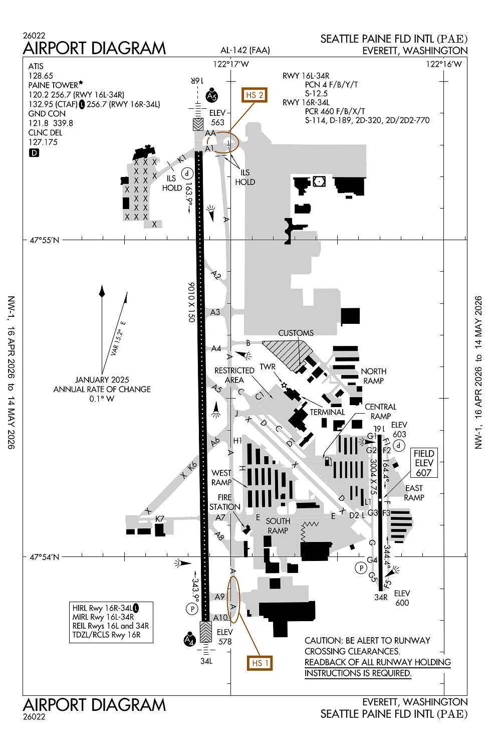
Airport Statistics
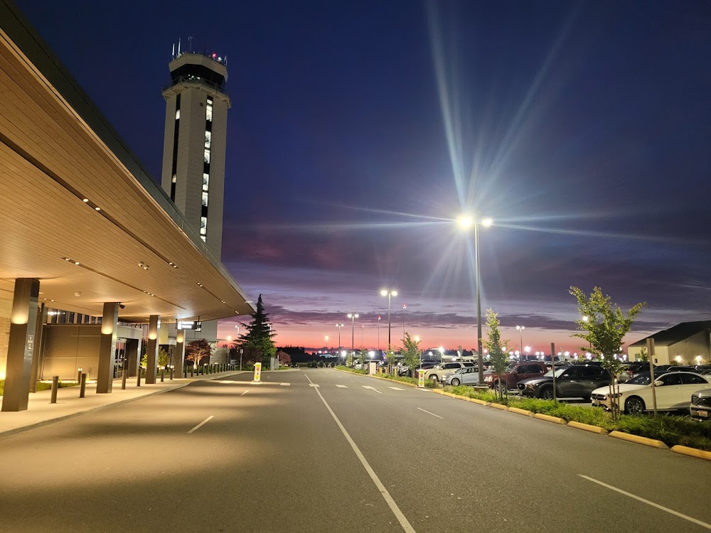
Location:
Everett, WA
Elevation:
606ft
Sectional:
Seattle
Activation date:
Nov 1938
Fuel:
100LL, A (prices)
Runway 16R/34L:
9,010ft
Runway 16L/34R:
3,004ft
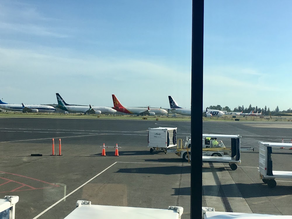
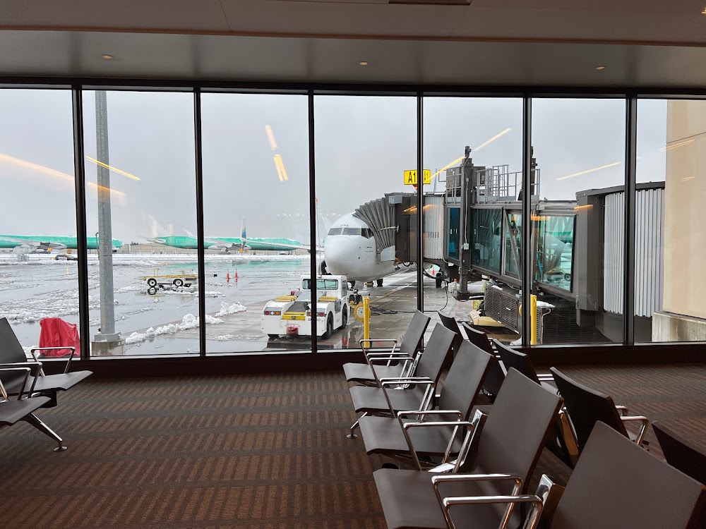
Access: Open to the public
Similar Airports
Current Weather — VFR
-
Weather data is strictly informational and not for flight planning purposes.
-
METAR2026-06-08 16:53:00 PDT
Ceiling: 7,500ft Wind: Variable Temperature: 57°F Dewpoint: 48°F Weather: Light rain Visbility: 10SM Clouds: Overcast @ 7,500ft Raw:METAR KPAE 082353Z VRB03KT 10SM -RA OVC075 14/09 A2961 RMK AO2 SLP027 P0000 60000 T01440089 10150 20133 57022 -
TAF2026-06-08 17:00:00 PDT – 2026-06-08 19:00:00 PDT
Ceiling: 7,000ft Wind: 300° @ 6kt Weather: Light rain Visbility: 6SM Clouds: Overcast @ 7,000ft Raw:TAF KPAE 082321Z 0900/0924 30006KT P6SM -RA OVC070 FM090200 15010KT 6SM -RA BR OVC035 FM090600 16012G18KT 6SM -RA BR OVC020 FM091000 22010KT 6SM -RA BR OVC015 FM091600 19012KT 6SM -RA BR OVC020 -
TAF2026-06-08 19:00:00 PDT – 2026-06-08 23:00:00 PDT
Ceiling: 3,500ft Wind: 150° @ 10kt Weather: Light rain, mist Visbility: 6SM Clouds: Overcast @ 3,500ft Raw:TAF KPAE 082321Z 0900/0924 30006KT P6SM -RA OVC070 FM090200 15010KT 6SM -RA BR OVC035 FM090600 16012G18KT 6SM -RA BR OVC020 FM091000 22010KT 6SM -RA BR OVC015 FM091600 19012KT 6SM -RA BR OVC020 -
TAF2026-06-08 23:00:00 PDT – 2026-06-09 03:00:00 PDT
Ceiling: 2,000ft Wind: 160° @ 12kt, gusts 18kt Weather: Light rain, mist Visbility: 6SM Clouds: Overcast @ 2,000ft Raw:TAF KPAE 082321Z 0900/0924 30006KT P6SM -RA OVC070 FM090200 15010KT 6SM -RA BR OVC035 FM090600 16012G18KT 6SM -RA BR OVC020 FM091000 22010KT 6SM -RA BR OVC015 FM091600 19012KT 6SM -RA BR OVC020 -
TAF2026-06-09 03:00:00 PDT – 2026-06-09 09:00:00 PDT
Ceiling: 1,500ft Wind: 220° @ 10kt Weather: Light rain, mist Visbility: 6SM Clouds: Overcast @ 1,500ft Raw:TAF KPAE 082321Z 0900/0924 30006KT P6SM -RA OVC070 FM090200 15010KT 6SM -RA BR OVC035 FM090600 16012G18KT 6SM -RA BR OVC020 FM091000 22010KT 6SM -RA BR OVC015 FM091600 19012KT 6SM -RA BR OVC020 -
TAF2026-06-09 09:00:00 PDT – 2026-06-09 17:00:00 PDT
Ceiling: 2,000ft Wind: 190° @ 12kt Weather: Light rain, mist Visbility: 6SM Clouds: Overcast @ 2,000ft Raw:TAF KPAE 082321Z 0900/0924 30006KT P6SM -RA OVC070 FM090200 15010KT 6SM -RA BR OVC035 FM090600 16012G18KT 6SM -RA BR OVC020 FM091000 22010KT 6SM -RA BR OVC015 FM091600 19012KT 6SM -RA BR OVC020
Click/tap to add an annotation marker to the map
Remarks
- Estabd prior to 15 may 1959.
- Clsd to unsked acr ops gtr than 30 pax seats 2100-0700; exc ppr - 425-388-5125.
- Rwy 16l/34r clsd btn 0500-1500z.
- Noise sens arpt; noise abatement proc req unless drctd by atct; itnrnt arr & low apch of sml acft ovr 250 horse pwr auzd rwy 16l & 34r. 0500-1500z++ if wind & per allow arr rwy 16r; dep rwy 34l. noise abatement & tfc proc - 425-388-5125.
- It is req that pilots adhere to the flw noise abatement proc unless otrw instrd by atct, itnrnt arr and low apch of sml acft over 250 horsepower auz on rwys 16l and 34r.
Comments