Pirep is a free, collaborative database of all public and private airports. All pilots are welcome to contribute their local knowledge to any airport, no registration required.
No upcoming events. Is anything happening here soon?
Last updated: 2024-03-06 23:36:17 EST
Airport Statistics
- Landing & tie-down fees
- WiFi availability
- Crew car availability
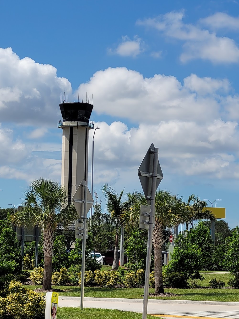
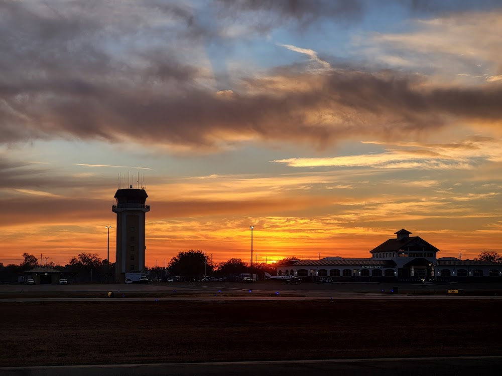
Location:
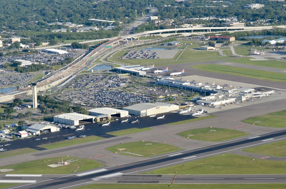
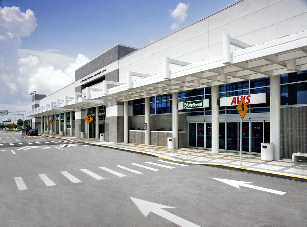
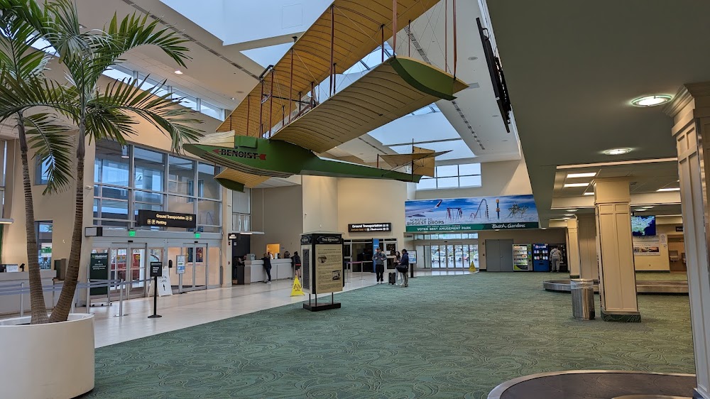
St Petersburg Clearwater, FL
Elevation:
10ft
Sectional:
Miami
Activation date:
Oct 1942
Fuel:
100, A, A1+ (prices)
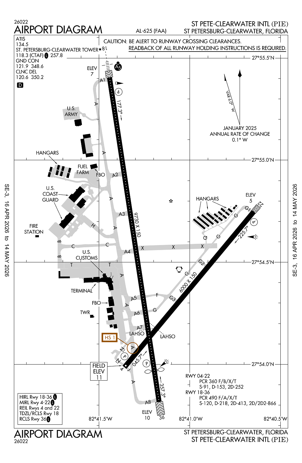
Runway 18/36:
9,730ft
Runway 04/22:
6,000ft
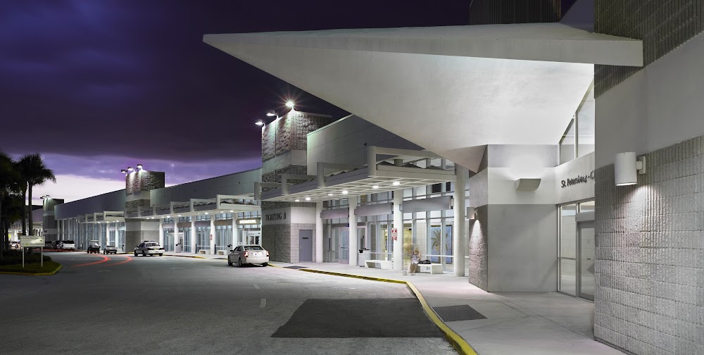
Access: Open to the public
Similar Airports
Current Weather — VFR
-
Weather data is strictly informational and not for flight planning purposes.
-
METAR2026-05-26 11:53:00 EDT
Ceiling: Sky clear Wind: 150° @ 11kt, gusts 19kt Temperature: 87°F Dewpoint: 71°F Weather: N/A Visbility: 10SM Clouds: Scattered @ 3,700ft Raw:METAR KPIE 261553Z 15011G19KT 10SM SCT037 31/22 A3008 RMK AO2 SLP184 T03060222 -
TAF2026-05-26 08:00:00 EDT – 2026-05-26 14:00:00 EDT
Ceiling: Sky clear Wind: 140° @ 12kt, gusts 22kt Weather: N/A Visbility: 6SM Clouds: Scattered @ 2,500ft, Scattered @ 25,000ft Raw:TAF KPIE 261120Z 2612/2712 14012G22KT P6SM SCT025 SCT250 FM261800 17010KT P6SM SCT050 SCT250 FM262100 22012KT P6SM VCTS SCT050CB BKN250 TEMPO 2622/2702 VRB20G30KT 3SM TSRA BKN030CB FM270200 VRB04KT P6SM VCSH SCT030 BKN100 FM270600 13005KT P6SM FEW020 SCT130 BKN250 -
TAF2026-05-26 14:00:00 EDT – 2026-05-26 17:00:00 EDT
Ceiling: Sky clear Wind: 170° @ 10kt Weather: N/A Visbility: 6SM Clouds: Scattered @ 5,000ft, Scattered @ 25,000ft Raw:TAF KPIE 261120Z 2612/2712 14012G22KT P6SM SCT025 SCT250 FM261800 17010KT P6SM SCT050 SCT250 FM262100 22012KT P6SM VCTS SCT050CB BKN250 TEMPO 2622/2702 VRB20G30KT 3SM TSRA BKN030CB FM270200 VRB04KT P6SM VCSH SCT030 BKN100 FM270600 13005KT P6SM FEW020 SCT130 BKN250 -
TAF2026-05-26 17:00:00 EDT – 2026-05-26 22:00:00 EDT
Ceiling: 25,000ft Wind: 220° @ 12kt Weather: Thunderstorm in vicinity Visbility: 6SM Clouds: Scattered @ 5,000ft, Broken @ 25,000ft Raw:TAF KPIE 261120Z 2612/2712 14012G22KT P6SM SCT025 SCT250 FM261800 17010KT P6SM SCT050 SCT250 FM262100 22012KT P6SM VCTS SCT050CB BKN250 TEMPO 2622/2702 VRB20G30KT 3SM TSRA BKN030CB FM270200 VRB04KT P6SM VCSH SCT030 BKN100 FM270600 13005KT P6SM FEW020 SCT130 BKN250 -
TAF2026-05-26 18:00:00 EDT – 2026-05-26 22:00:00 EDT
Ceiling: 3,000ft Wind: Variable, gusts 30kt Weather: Thunderstorm rain Visbility: 3SM Clouds: Broken @ 3,000ft Raw:TAF KPIE 261120Z 2612/2712 14012G22KT P6SM SCT025 SCT250 FM261800 17010KT P6SM SCT050 SCT250 FM262100 22012KT P6SM VCTS SCT050CB BKN250 TEMPO 2622/2702 VRB20G30KT 3SM TSRA BKN030CB FM270200 VRB04KT P6SM VCSH SCT030 BKN100 FM270600 13005KT P6SM FEW020 SCT130 BKN250 -
TAF2026-05-26 22:00:00 EDT – 2026-05-27 02:00:00 EDT
Ceiling: 10,000ft Wind: Variable Weather: Showers in vicinity Visbility: 6SM Clouds: Scattered @ 3,000ft, Broken @ 10,000ft Raw:TAF KPIE 261120Z 2612/2712 14012G22KT P6SM SCT025 SCT250 FM261800 17010KT P6SM SCT050 SCT250 FM262100 22012KT P6SM VCTS SCT050CB BKN250 TEMPO 2622/2702 VRB20G30KT 3SM TSRA BKN030CB FM270200 VRB04KT P6SM VCSH SCT030 BKN100 FM270600 13005KT P6SM FEW020 SCT130 BKN250 -
TAF2026-05-27 02:00:00 EDT – 2026-05-27 08:00:00 EDT
Ceiling: 25,000ft Wind: 130° @ 5kt Weather: N/A Visbility: 6SM Clouds: Few @ 2,000ft, Scattered @ 13,000ft, Broken @ 25,000ft Raw:TAF KPIE 261120Z 2612/2712 14012G22KT P6SM SCT025 SCT250 FM261800 17010KT P6SM SCT050 SCT250 FM262100 22012KT P6SM VCTS SCT050CB BKN250 TEMPO 2622/2702 VRB20G30KT 3SM TSRA BKN030CB FM270200 VRB04KT P6SM VCSH SCT030 BKN100 FM270600 13005KT P6SM FEW020 SCT130 BKN250
Click/tap to add an annotation marker to the map
No webcams added yet.
Remarks
- Noise sensitive area 5 mi n extdg 1 mi e & w of loc sb to shoreline.
- Military: contract avoil o-128 avbl.
- Tbjt lndg rwy 18 & dep rwy 36 use publd noise abatement proc.
- Lgts on hwy n of arpt may be mistaken for rwy lgts.
- Banner towing na.
Comments