Pirep is a free, collaborative database of all public and private airports. All pilots are welcome to contribute their local knowledge to any airport, no registration required.


No upcoming events. Is anything happening here soon?
Last updated: 2023-11-14 22:22:25 MST
Airport Statistics
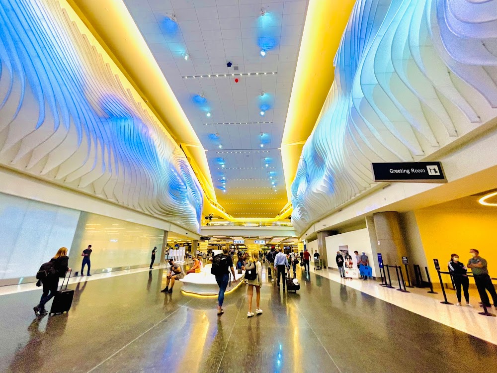
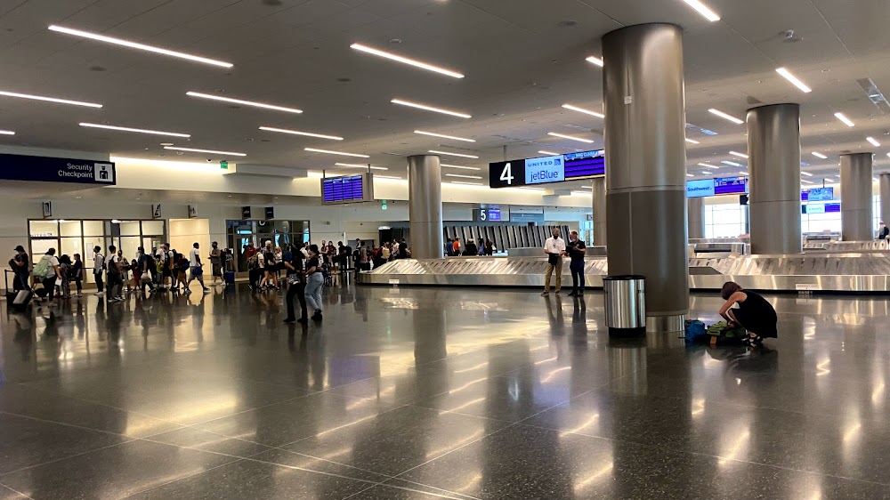
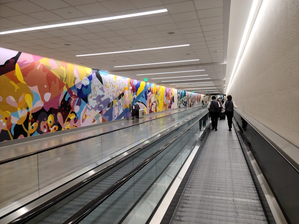
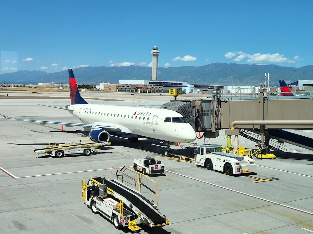
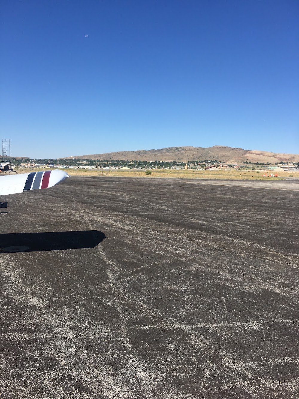
- Airport photos
- General description
- Transient parking location
Location:
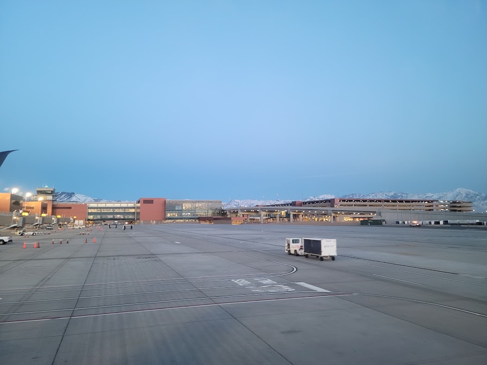
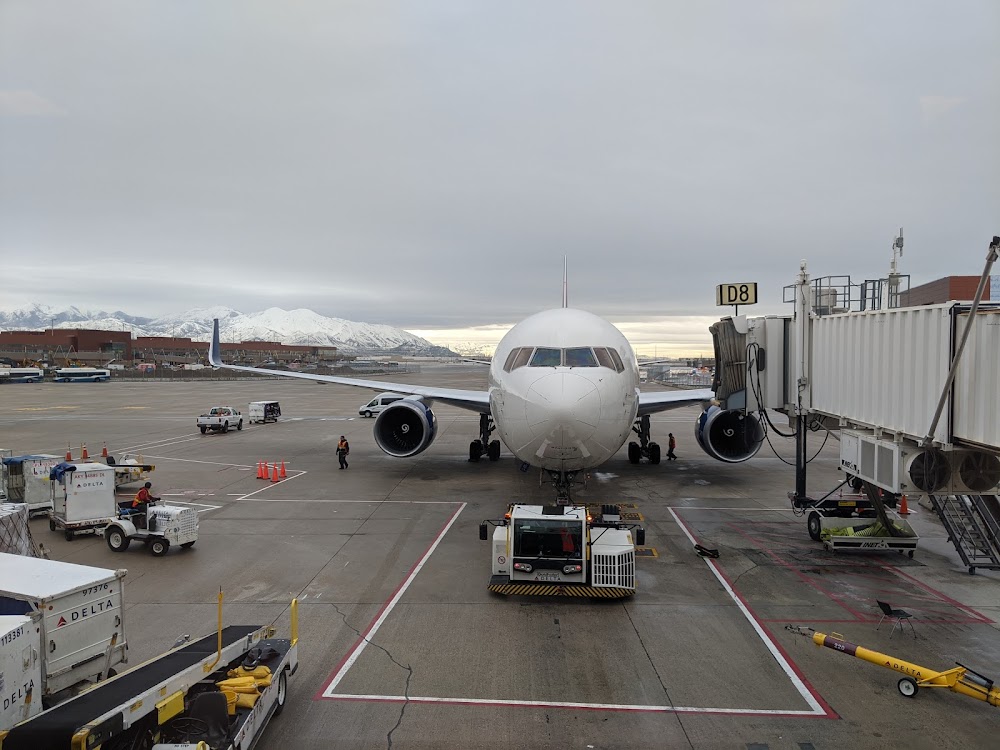
Salt Lake City, UT
Elevation:
4,230ft
Sectional:
Salt Lake City
Activation date:
Nov 1938
Fuel:
100LL, A++, A1+ (prices)
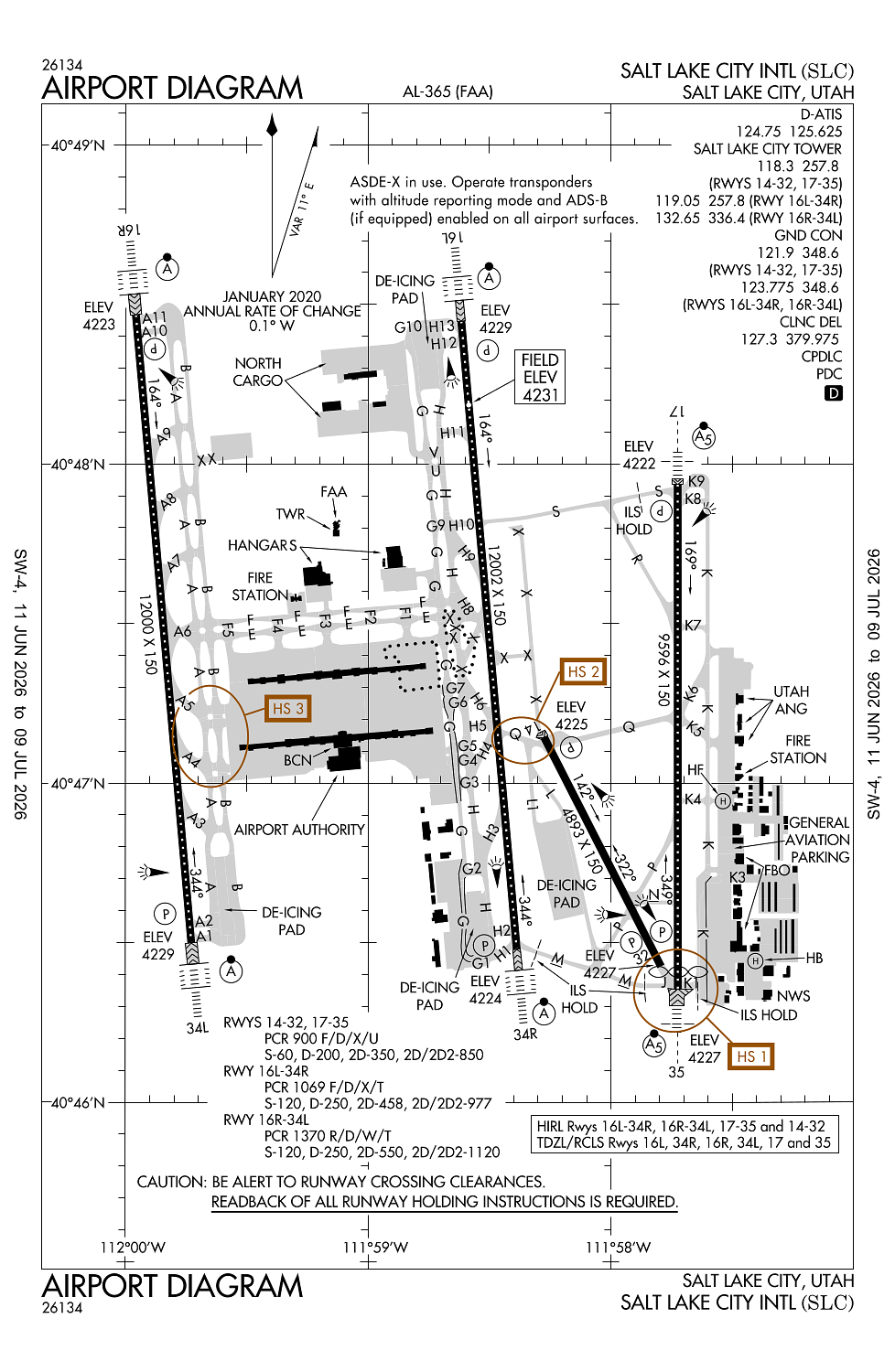
Runway 16L/34R:
12,002ft
Runway 16R/34L:
12,000ft
Runway 17/35:
9,596ft
Runway 14/32:
4,893ft
Runway HB:
60ft
Runway HF:
60ft
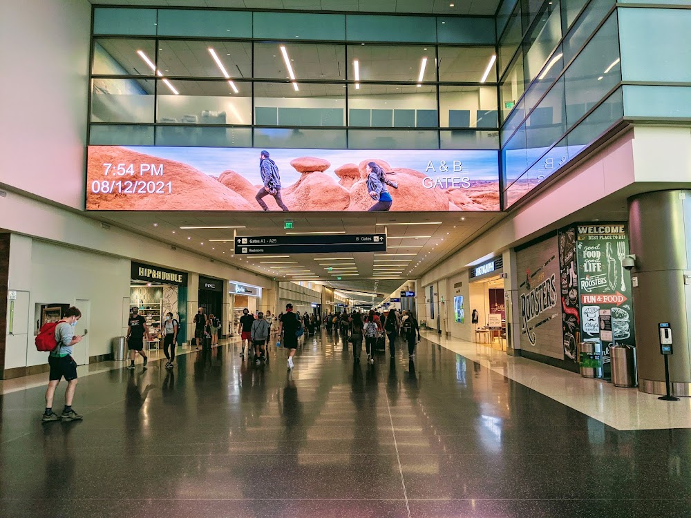
Access: Open to the public
Similar Airports


Current Weather — VFR
-
Weather data is strictly informational and not for flight planning purposes.
-
METAR2026-06-26 23:54:00 MDT
Ceiling: 27,000ft Wind: 190° @ 6kt Temperature: 71°F Dewpoint: 42°F Weather: N/A Visbility: 10SM Clouds: Few @ 16,000ft, Scattered @ 19,000ft, Broken @ 27,000ft Raw:METAR KSLC 270554Z 19006KT 10SM FEW160 SCT190 BKN270 22/06 A2980 RMK AO2 SLP028 T02170061 10306 20211 58004 $ -
TAF2026-06-27 00:00:00 MDT – 2026-06-27 12:00:00 MDT
Ceiling: 10,000ft Wind: 360° @ 4kt Weather: N/A Visbility: 6SM Clouds: Scattered @ 8,000ft, Broken @ 10,000ft Raw:TAF KSLC 270520Z 2706/2812 36004KT P6SM SCT080 BKN100 PROB30 2711/2714 VRB06KT -SHRA SCT050 BKN080 FM271800 32012G25KT P6SM SCT080 BKN100 FM280300 34008KT P6SM BKN100 -
TAF2026-06-27 05:00:00 MDT – 2026-06-27 08:00:00 MDT
Ceiling: 8,000ft Wind: Variable Weather: Light rain showers Visbility: SM Clouds: Scattered @ 5,000ft, Broken @ 8,000ft Raw:TAF KSLC 270520Z 2706/2812 36004KT P6SM SCT080 BKN100 PROB30 2711/2714 VRB06KT -SHRA SCT050 BKN080 FM271800 32012G25KT P6SM SCT080 BKN100 FM280300 34008KT P6SM BKN100 -
TAF2026-06-27 12:00:00 MDT – 2026-06-27 21:00:00 MDT
Ceiling: 10,000ft Wind: 320° @ 12kt, gusts 25kt Weather: N/A Visbility: 6SM Clouds: Scattered @ 8,000ft, Broken @ 10,000ft Raw:TAF KSLC 270520Z 2706/2812 36004KT P6SM SCT080 BKN100 PROB30 2711/2714 VRB06KT -SHRA SCT050 BKN080 FM271800 32012G25KT P6SM SCT080 BKN100 FM280300 34008KT P6SM BKN100 -
TAF2026-06-27 21:00:00 MDT – 2026-06-28 06:00:00 MDT
Ceiling: 10,000ft Wind: 340° @ 8kt Weather: N/A Visbility: 6SM Clouds: Broken @ 10,000ft Raw:TAF KSLC 270520Z 2706/2812 36004KT P6SM SCT080 BKN100 PROB30 2711/2714 VRB06KT -SHRA SCT050 BKN080 FM271800 32012G25KT P6SM SCT080 BKN100 FM280300 34008KT P6SM BKN100
Click/tap to add an annotation marker to the map
No webcams added yet.
Remarks
- Flock of birds on and in vicinity of arpt.
- Helipads b and f located on general aviation aprons.
- Surface movement guidance control system & low visibility taxi procedures.
- Due to tfc vol, lcl departure and arr opns are discouraged and dlas can be expcd btn 1500-1730z++ and 0130-0300z++.
- Svfr is not rcmd at the arpt, if reqd, expt dlas.
Comments