Pirep is a free, collaborative database of all public and private airports. All pilots are welcome to contribute their local knowledge to any airport, no registration required.

No upcoming events. Is anything happening here soon?
Last updated: 2023-05-10 23:58:33 PDT
Airport Statistics
- Crew car availability
- Local flying clubs
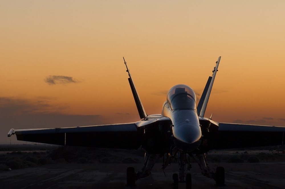
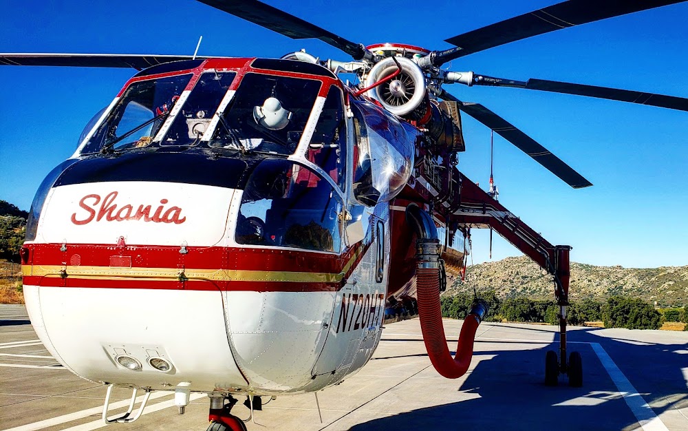
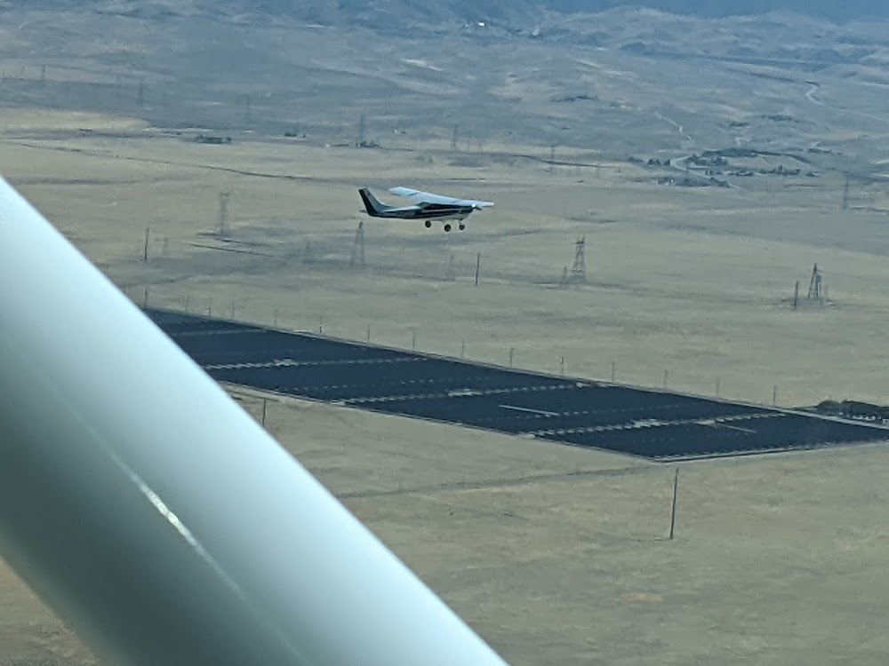
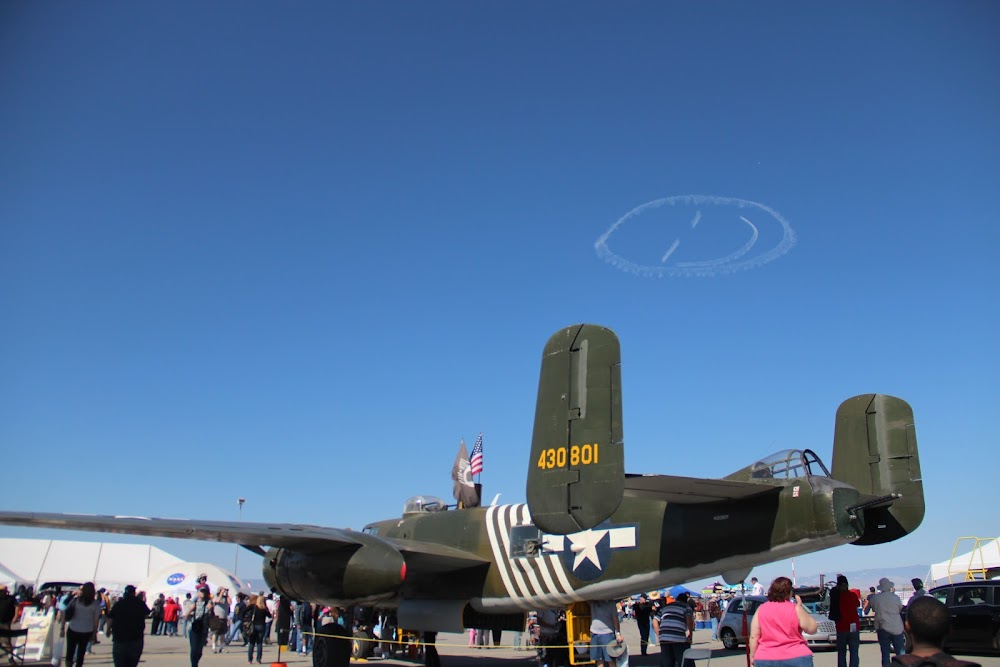
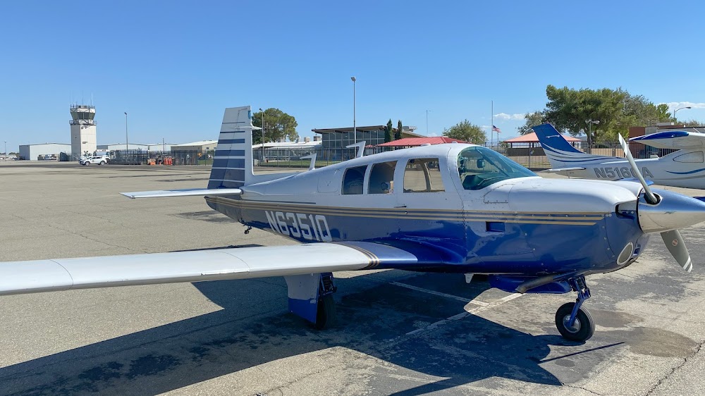
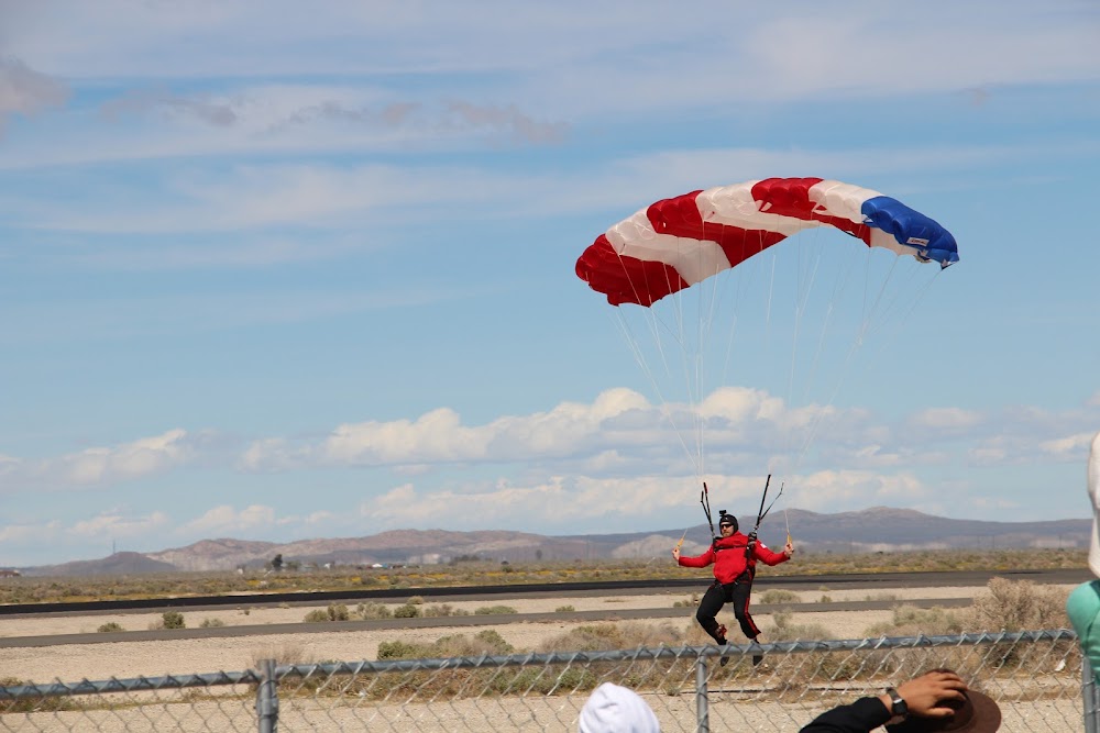
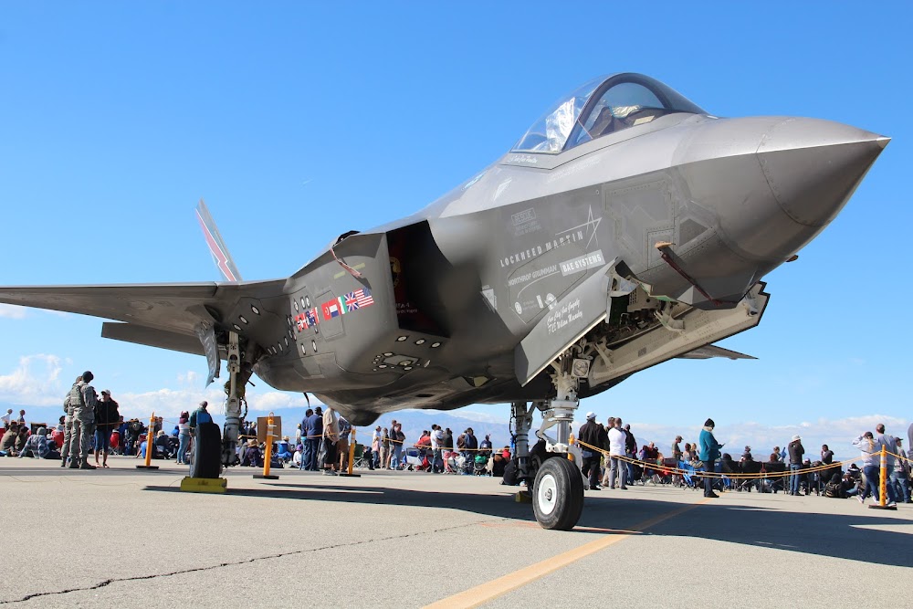
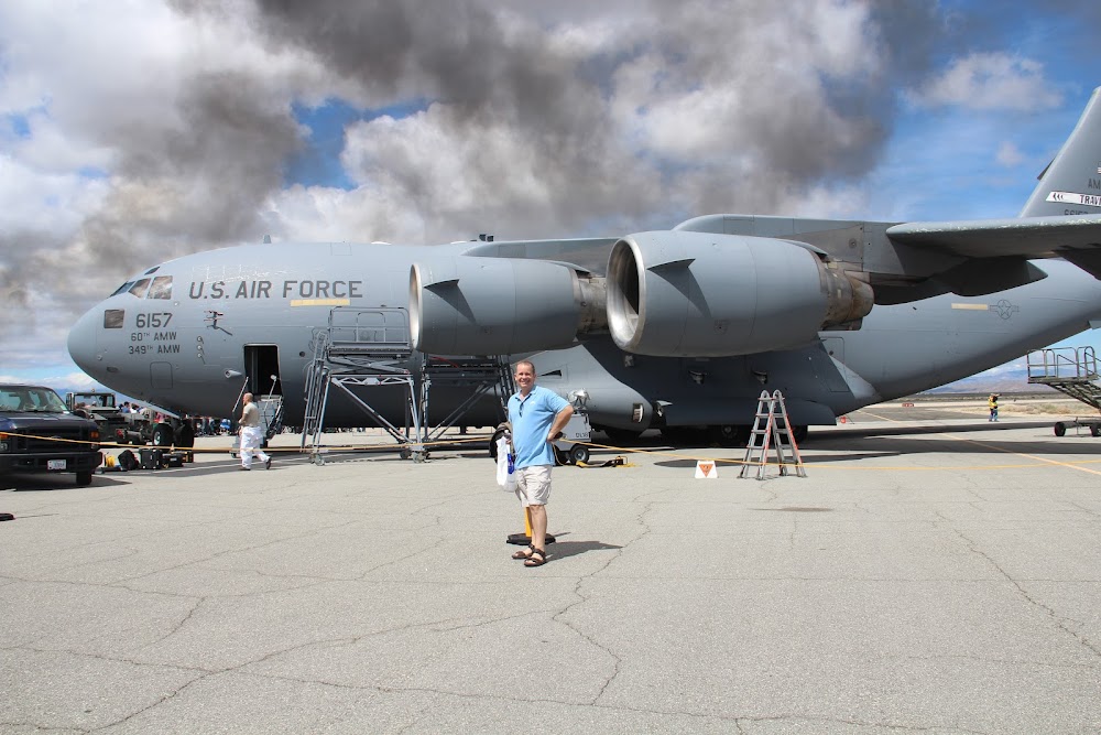
- Airport photos
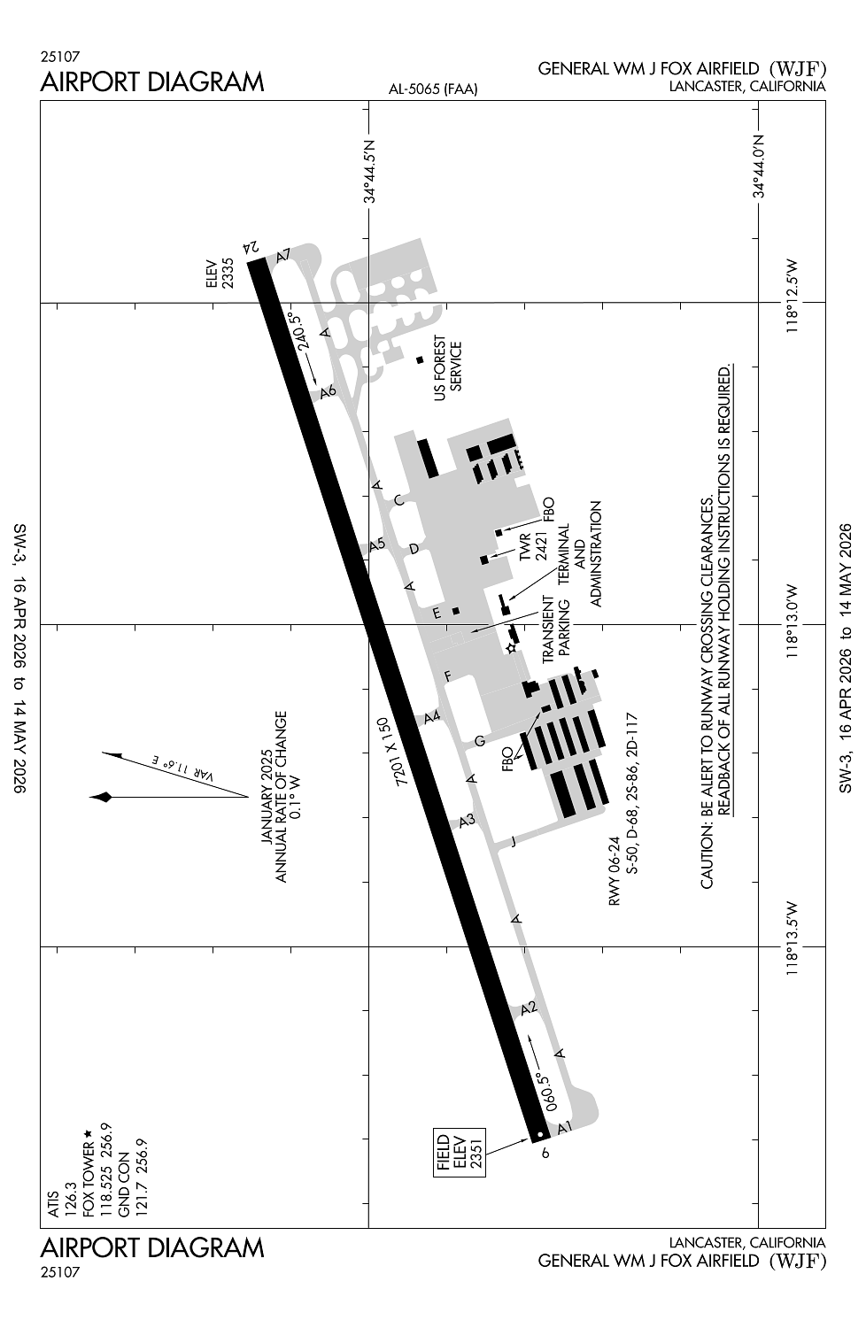
Location:
Lancaster, CA
Elevation:
2,350ft
Sectional:
Los Angeles
Activation date:
Nov 1959
Fuel:
100LL, A (prices)
Runway 06/24:
7,201ft
Access: Open to the public
Similar Airports
Current Weather — VFR
-
Weather data is strictly informational and not for flight planning purposes.
-
METAR2026-05-07 06:56:00 PDT
Ceiling: Sky clear Wind: Calm Temperature: 53°F Dewpoint: 39°F Weather: N/A Visbility: 10SM Raw:METAR KWJF 071356Z 00000KT 10SM CLR 12/04 A3005 RMK AO2 SLP166 T01220044 -
TAF2026-05-07 05:00:00 PDT – 2026-05-07 13:00:00 PDT
Ceiling: Sky clear Wind: Variable Weather: N/A Visbility: 6SM Clouds: @ ft Raw:TAF KWJF 071141Z 0712/0812 VRB05KT P6SM SKC FM072000 26010KT P6SM SKC FM072100 27017G24KT P6SM SKC FM080400 27012KT P6SM SKC -
TAF2026-05-07 13:00:00 PDT – 2026-05-07 14:00:00 PDT
Ceiling: Sky clear Wind: 260° @ 10kt Weather: N/A Visbility: 6SM Clouds: @ ft Raw:TAF KWJF 071141Z 0712/0812 VRB05KT P6SM SKC FM072000 26010KT P6SM SKC FM072100 27017G24KT P6SM SKC FM080400 27012KT P6SM SKC -
TAF2026-05-07 14:00:00 PDT – 2026-05-07 21:00:00 PDT
Ceiling: Sky clear Wind: 270° @ 17kt, gusts 24kt Weather: N/A Visbility: 6SM Clouds: @ ft Raw:TAF KWJF 071141Z 0712/0812 VRB05KT P6SM SKC FM072000 26010KT P6SM SKC FM072100 27017G24KT P6SM SKC FM080400 27012KT P6SM SKC -
TAF2026-05-07 21:00:00 PDT – 2026-05-08 05:00:00 PDT
Ceiling: Sky clear Wind: 270° @ 12kt Weather: N/A Visbility: 6SM Clouds: @ ft Raw:TAF KWJF 071141Z 0712/0812 VRB05KT P6SM SKC FM072000 26010KT P6SM SKC FM072100 27017G24KT P6SM SKC FM080400 27012KT P6SM SKC
Click/tap to add an annotation marker to the map
No webcams added yet.
Remarks
- This airport has been surveyed by the national geodetic survey.
- <lgtd rdo twrs 4 mi se.
- Forest svc fire fighting stn on arpt may-dec.
- Numerous birds se of arpt.
- Paew adjacent ramp area btn fuel island and terminal bldg.
Comments