Pirep is a free, collaborative database of all public and private airports. All pilots are welcome to contribute their local knowledge to any airport, no registration required.


No upcoming events. Is anything happening here soon?
Last updated: 2024-01-14 23:00:01 CST
Last updated: 2024-01-08 22:59:54 CST
Last updated: 2024-01-08 22:59:54 CST
Airport Statistics
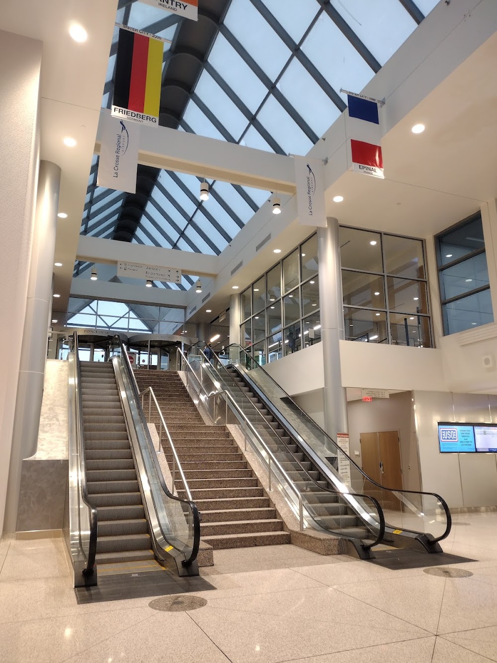
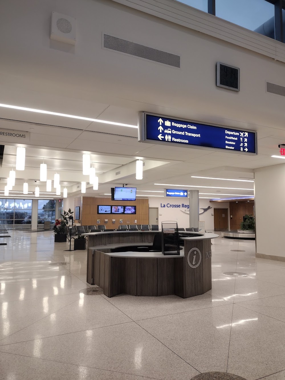
- Webcam links
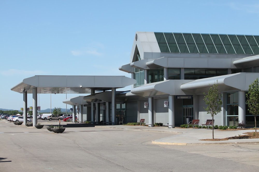
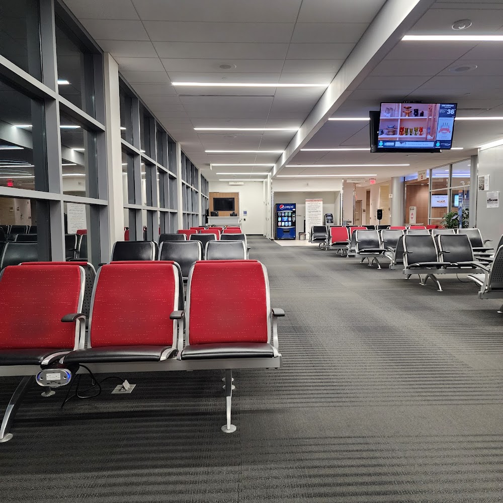
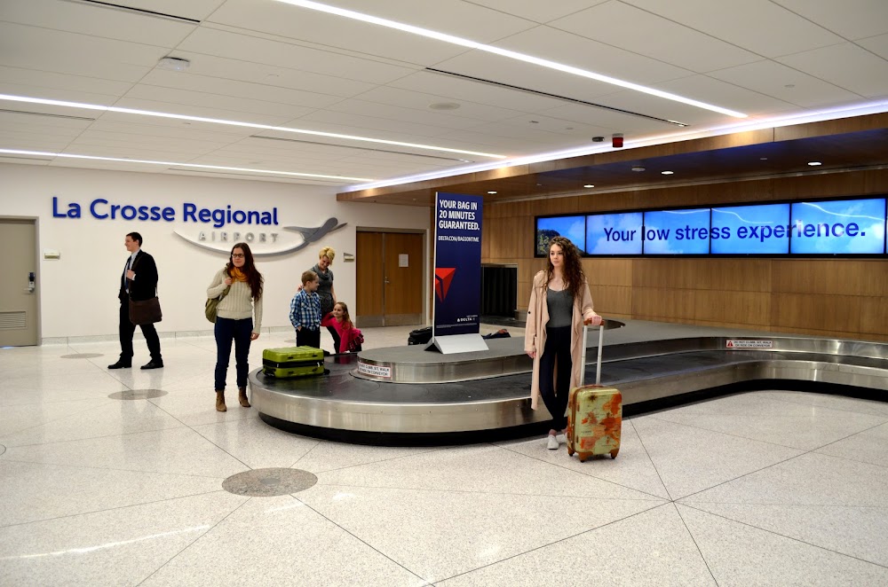
- Airport photos
- WiFi availability
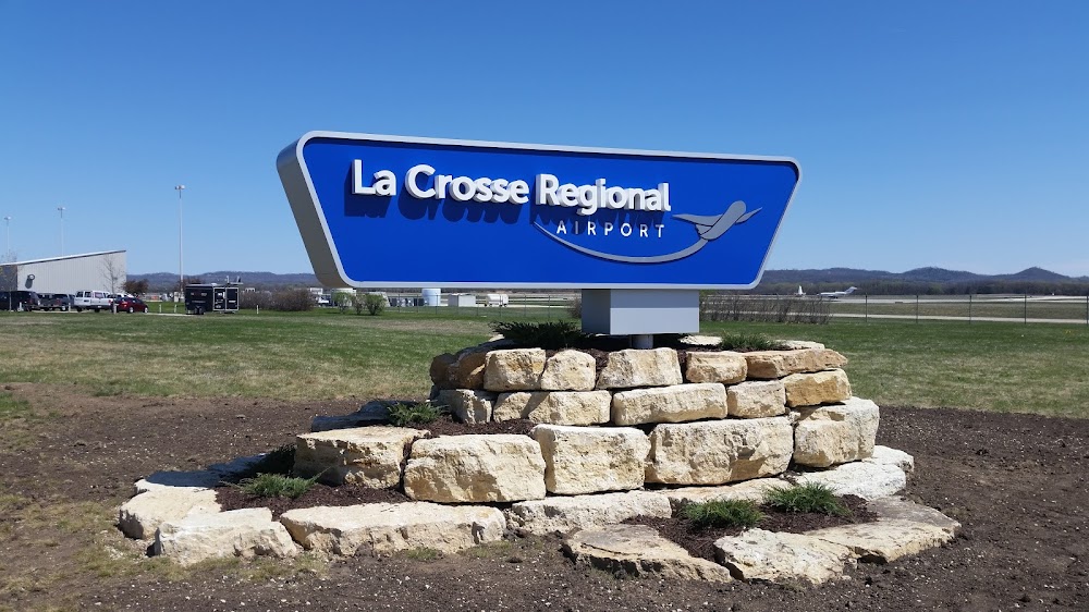
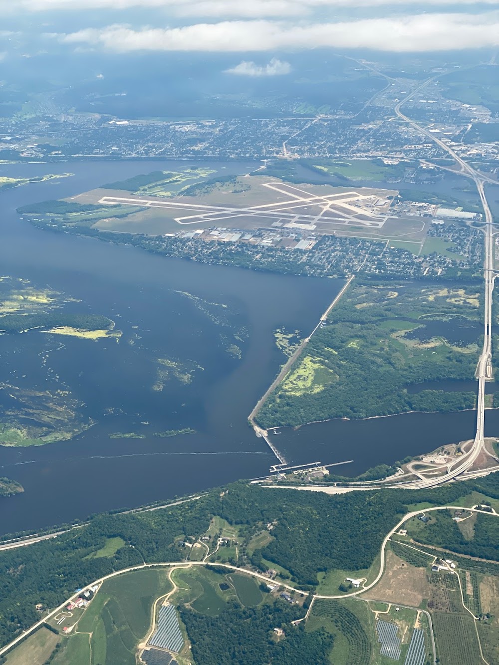
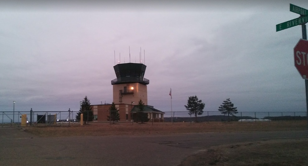
Location:
La Crosse, WI
Elevation:
655ft
Sectional:
Chicago
Activation date:
Feb 1938
Fuel:
100LL, A (prices)
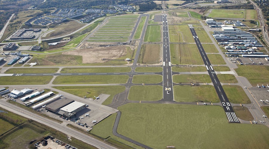
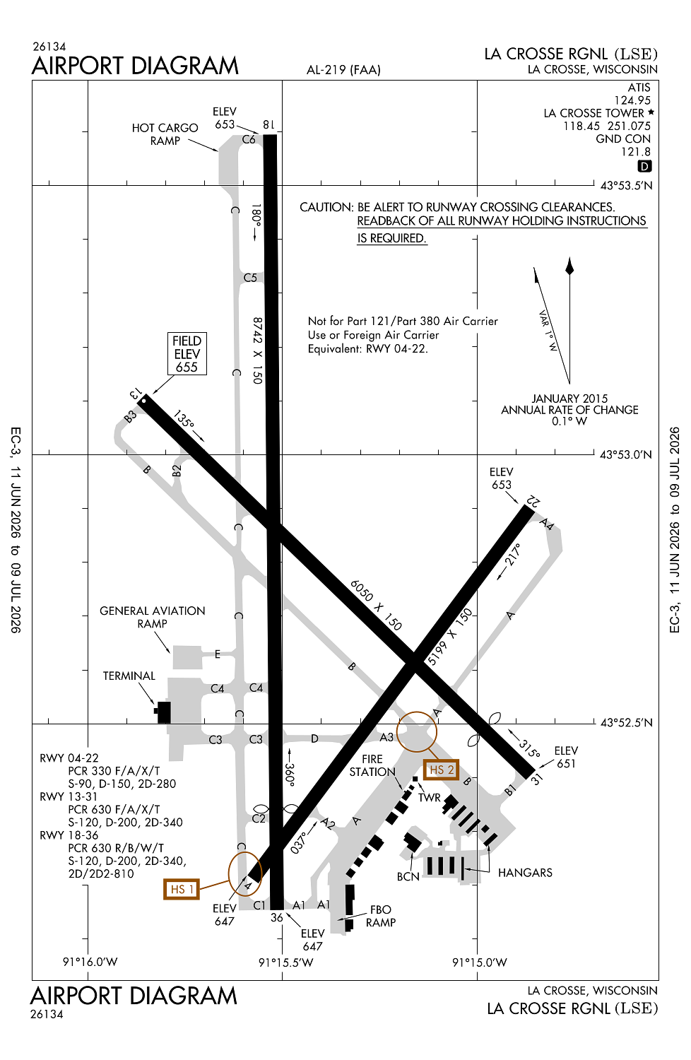
Runway 18/36:
8,742ft
Runway 13/31:
6,050ft
Runway 04/22:
5,199ft
Access: Open to the public
Similar Airports
Current Weather — VFR
-
Weather data is strictly informational and not for flight planning purposes.
-
METAR2026-07-21 02:53:00 CDT
Ceiling: Sky clear Wind: 300° @ 11kt Temperature: 75°F Dewpoint: 64°F Weather: N/A Visbility: 10SM Clouds: Few @ 6,500ft Raw:METAR KLSE 210753Z AUTO 30011KT 10SM FEW065 24/18 A2967 RMK AO2 SLP034 T02440183 -
TAF2026-07-21 01:00:00 CDT – 2026-07-21 06:00:00 CDT
Ceiling: Sky clear Wind: 290° @ 9kt Weather: N/A Visbility: 6SM Clouds: Few @ 25,000ft Raw:TAF KLSE 210546Z 2106/2206 29009KT P6SM FEW250 FM211100 30010G19KT P6SM FEW200 FM211300 31012G22KT P6SM FEW050 FM211500 32013G23KT P6SM BKN030 FM211800 33012G20KT P6SM FEW100 FM220000 34010KT P6SM SCT150 -
TAF2026-07-21 06:00:00 CDT – 2026-07-21 08:00:00 CDT
Ceiling: Sky clear Wind: 300° @ 10kt, gusts 19kt Weather: N/A Visbility: 6SM Clouds: Few @ 20,000ft Raw:TAF KLSE 210546Z 2106/2206 29009KT P6SM FEW250 FM211100 30010G19KT P6SM FEW200 FM211300 31012G22KT P6SM FEW050 FM211500 32013G23KT P6SM BKN030 FM211800 33012G20KT P6SM FEW100 FM220000 34010KT P6SM SCT150 -
TAF2026-07-21 08:00:00 CDT – 2026-07-21 10:00:00 CDT
Ceiling: Sky clear Wind: 310° @ 12kt, gusts 22kt Weather: N/A Visbility: 6SM Clouds: Few @ 5,000ft Raw:TAF KLSE 210546Z 2106/2206 29009KT P6SM FEW250 FM211100 30010G19KT P6SM FEW200 FM211300 31012G22KT P6SM FEW050 FM211500 32013G23KT P6SM BKN030 FM211800 33012G20KT P6SM FEW100 FM220000 34010KT P6SM SCT150 -
TAF2026-07-21 10:00:00 CDT – 2026-07-21 13:00:00 CDT
Ceiling: 3,000ft Wind: 320° @ 13kt, gusts 23kt Weather: N/A Visbility: 6SM Clouds: Broken @ 3,000ft Raw:TAF KLSE 210546Z 2106/2206 29009KT P6SM FEW250 FM211100 30010G19KT P6SM FEW200 FM211300 31012G22KT P6SM FEW050 FM211500 32013G23KT P6SM BKN030 FM211800 33012G20KT P6SM FEW100 FM220000 34010KT P6SM SCT150 -
TAF2026-07-21 13:00:00 CDT – 2026-07-21 19:00:00 CDT
Ceiling: Sky clear Wind: 330° @ 12kt, gusts 20kt Weather: N/A Visbility: 6SM Clouds: Few @ 10,000ft Raw:TAF KLSE 210546Z 2106/2206 29009KT P6SM FEW250 FM211100 30010G19KT P6SM FEW200 FM211300 31012G22KT P6SM FEW050 FM211500 32013G23KT P6SM BKN030 FM211800 33012G20KT P6SM FEW100 FM220000 34010KT P6SM SCT150 -
TAF2026-07-21 19:00:00 CDT – 2026-07-22 01:00:00 CDT
Ceiling: Sky clear Wind: 340° @ 10kt Weather: N/A Visbility: 6SM Clouds: Scattered @ 15,000ft Raw:TAF KLSE 210546Z 2106/2206 29009KT P6SM FEW250 FM211100 30010G19KT P6SM FEW200 FM211300 31012G22KT P6SM FEW050 FM211500 32013G23KT P6SM BKN030 FM211800 33012G20KT P6SM FEW100 FM220000 34010KT P6SM SCT150
Click/tap to add an annotation marker to the map
No webcams added yet.
Remarks
- Tower, 1390 ft agl 6nm sw.
- Numerous towers up to 836 ft agl; 4nm se.
- Deer; waterfowl & other birds on & invof arpt. hvy concentrations of waterfowl spring & fall.
- Hldg psn for the west side of rwy 36 apch end is set back on twy c. see hs-1 on arpt diagram.
- Cold temperature airport. altitude correction required at or below -21c.
Comments