Pirep is a free, collaborative database of all public and private airports. All pilots are welcome to contribute their local knowledge to any airport, no registration required.
Warning: This airport is not mapped in the FAA's database. There is no guarantee regarding the accuracy of the information on this page. You are ultimately responsible for confirming conditions before attempting to land here.
No upcoming events. Is anything happening here soon?
Last updated: 2023-03-06 12:21:11 PST
Airport Statistics
- Fuel pump location
- Transient parking location
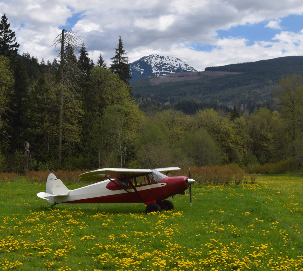
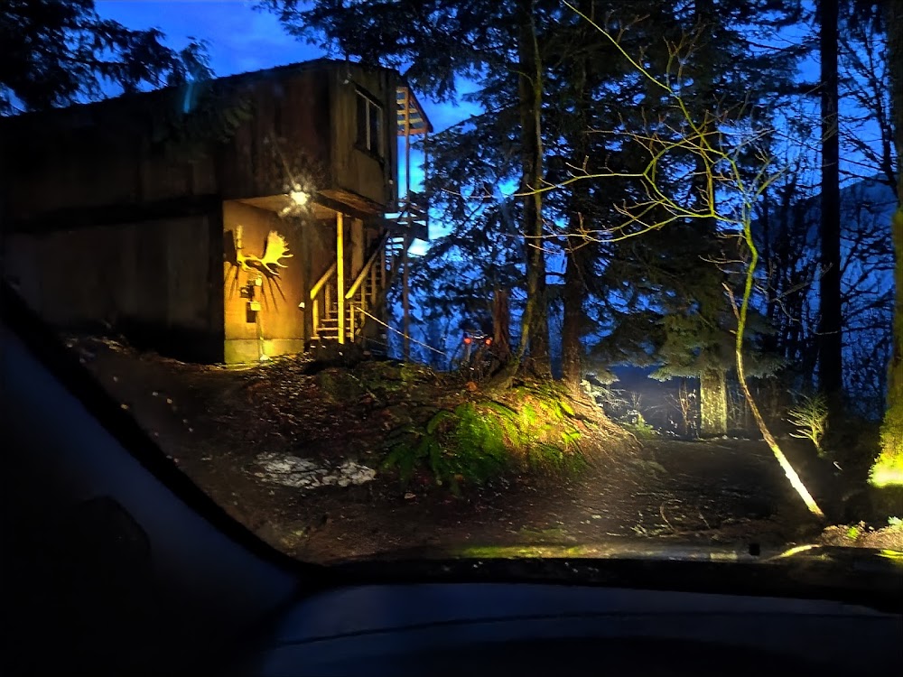
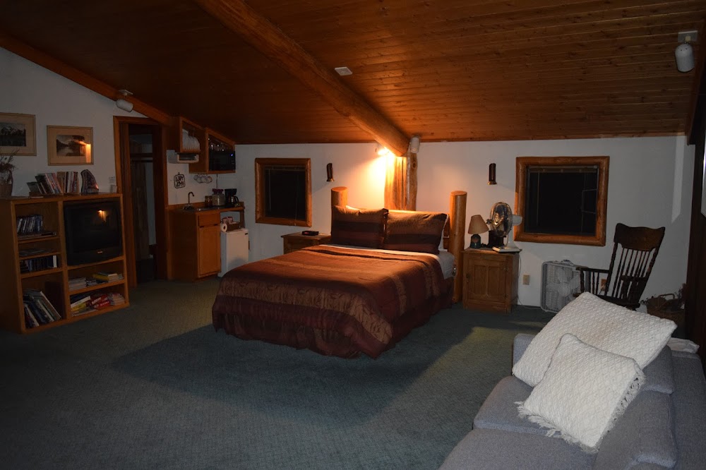
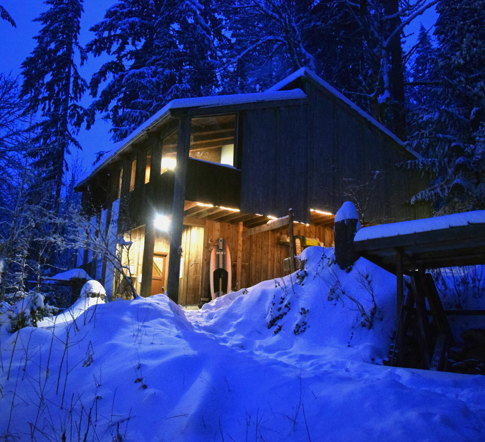
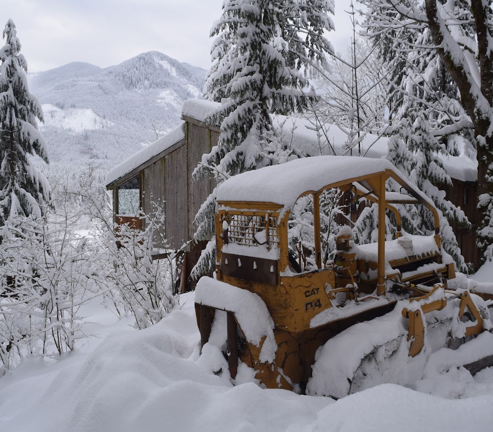
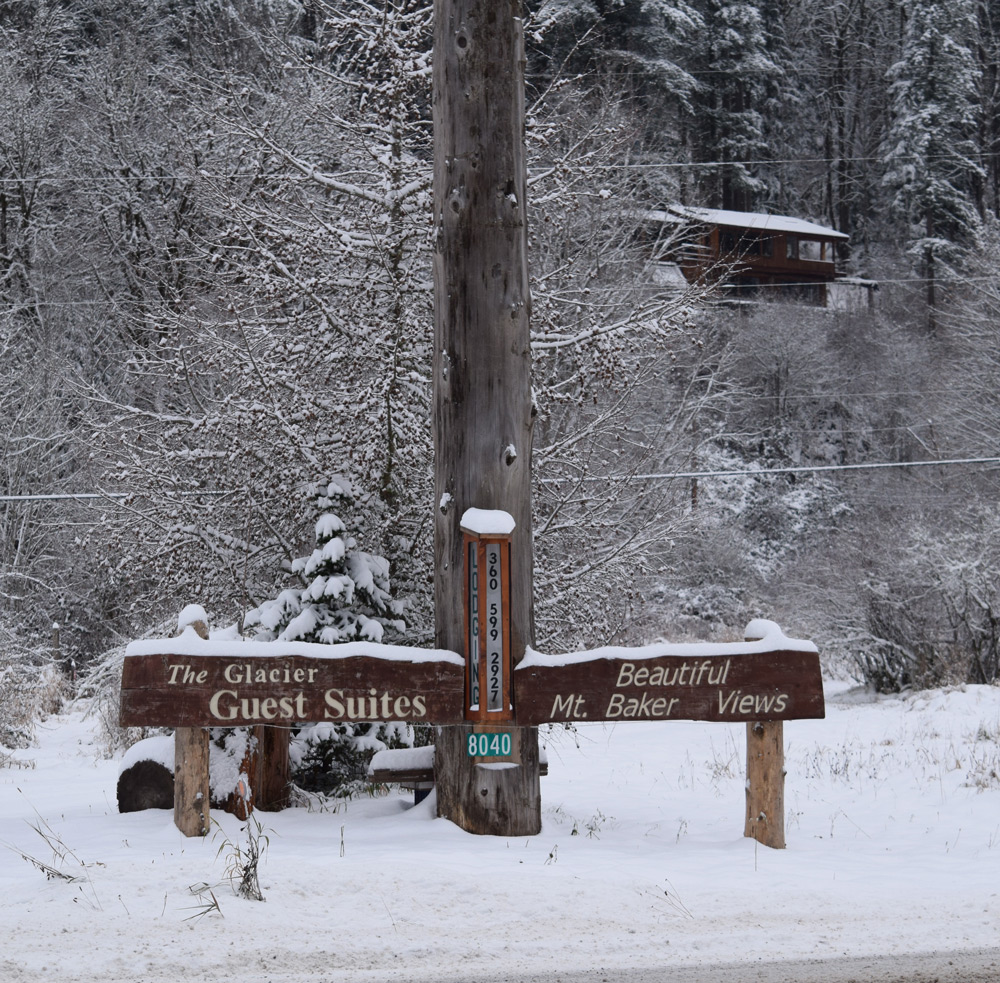
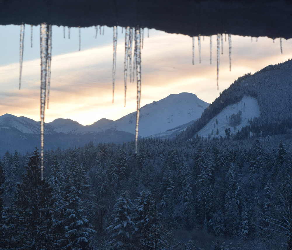
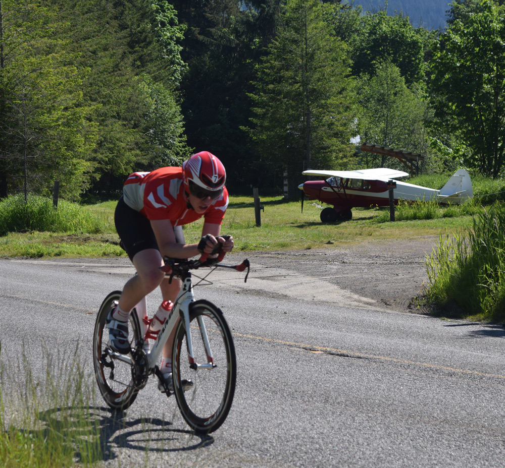
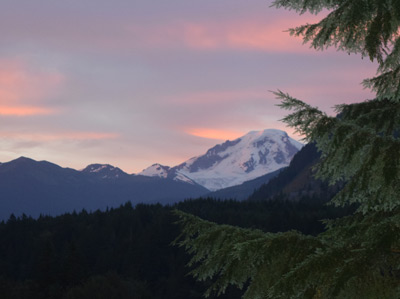
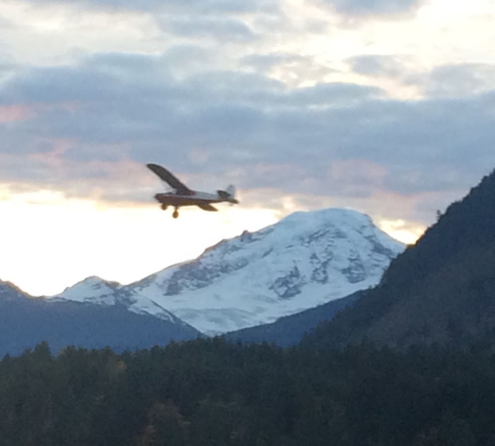
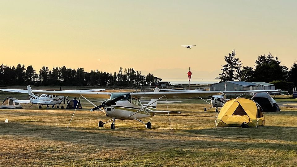
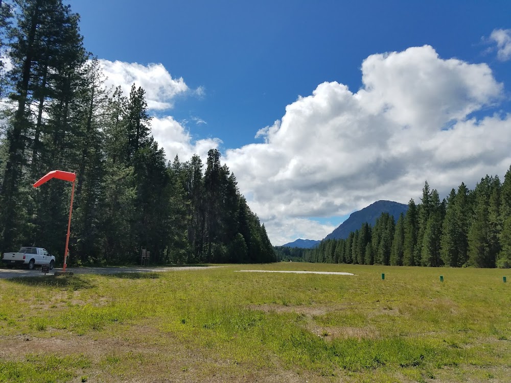
- Airport photos
Elevation:
584ft
Access: Private, but open to public with restrictions
Restricted: Prior permission required. See http://www.mt-baker.com/airfield-use.php for contact info.
Similar Airports

Click/tap to add an annotation marker to the map
No webcams added yet.
Comments