Pirep is a free, collaborative database of all public and private airports. All pilots are welcome to contribute their local knowledge to any airport, no registration required.
No upcoming events. Is anything happening here soon?
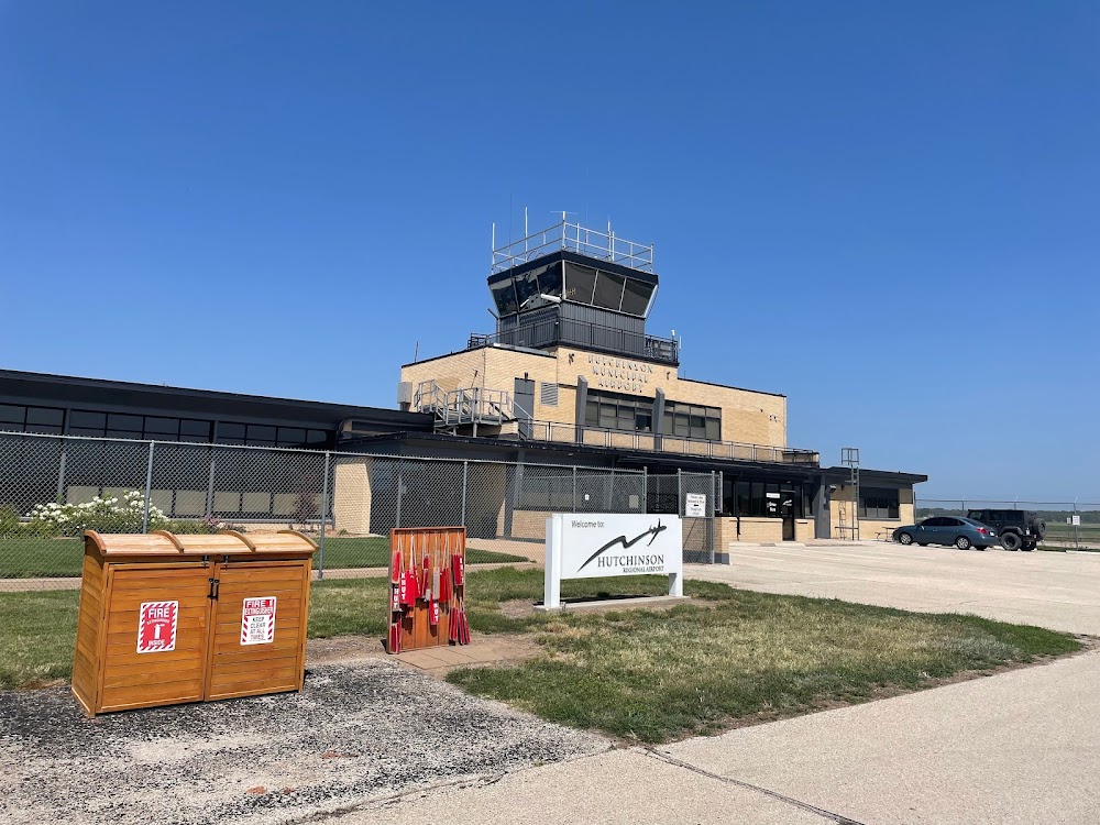
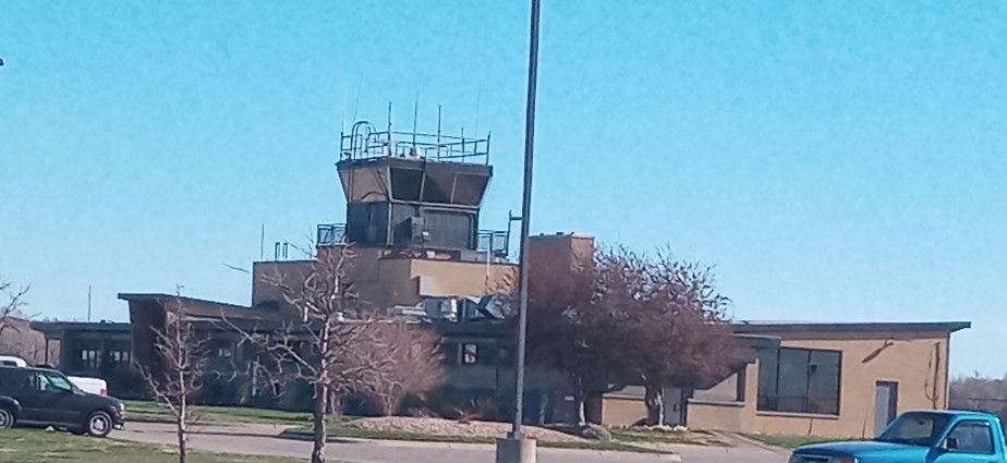
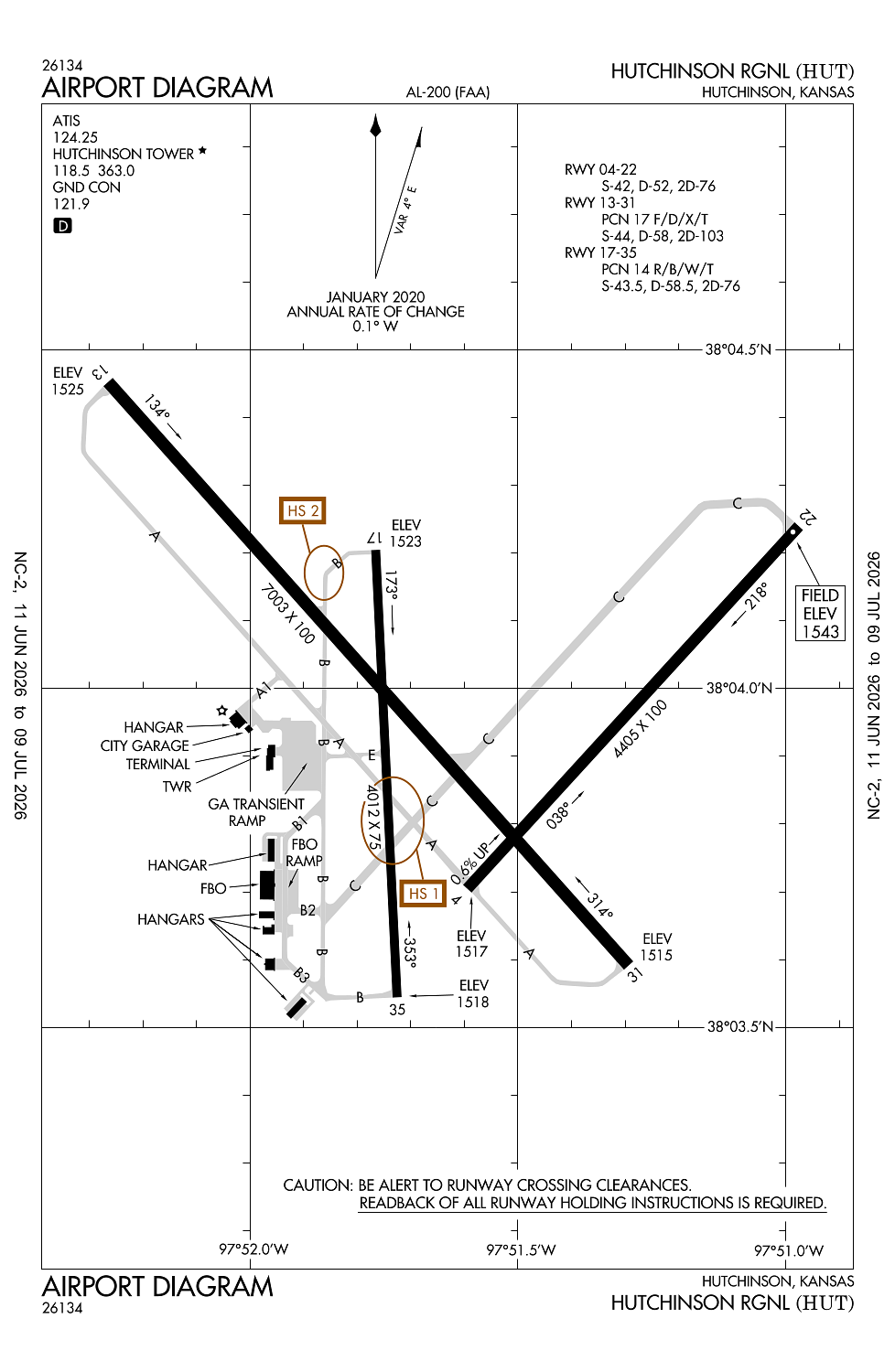
Airport Statistics
- Webcam links
- General description
- Landing & tie-down fees
Location:
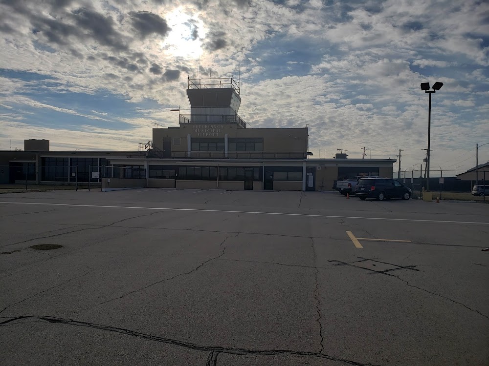
Hutchinson, KS
Elevation:
1,542ft
Sectional:
Wichita
Activation date:
Apr 1940
Fuel:
100LL, A (prices)
Runway 13/31:
7,003ft
Runway 04/22:
4,405ft
Runway 17/35:
4,012ft
Access: Open to the public
Similar Airports

Current Weather — VFR
-
Weather data is strictly informational and not for flight planning purposes.
-
METAR2026-07-19 22:52:00 CDT
Ceiling: Sky clear Wind: 120° @ 6kt Temperature: 82°F Dewpoint: 69°F Weather: N/A Visbility: 10SM Raw:METAR KHUT 200352Z AUTO 12006KT 10SM CLR 28/21 A2994 RMK AO2 SLP111 T02780211 -
TAF2026-07-19 19:00:00 CDT – 2026-07-20 19:00:00 CDT
Ceiling: Sky clear Wind: 140° @ 6kt Weather: N/A Visbility: 6SM Clouds: Few @ 20,000ft Raw:TAF KHUT 192349Z 2000/2024 14006KT P6SM FEW200
Click/tap to add an annotation marker to the map
No webcams added yet.
Remarks
- Migratory birds on & invof arpt.
- Crossing rwys used for taxiing to and fm active rwys.
- Arpt sfc conds unmon fm 0300z-1100z.
- For cd ctc wichita apch at 316-350-1520.
- Twy b3 dsgnd as a non-movement area.
Comments